
IMAGES TAKEN NEAR TO
Fieldside Avenue, CHORLEY, PR7 6JF
Introduction
This page details the photographs taken nearby to Fieldside Avenue, PR7 6JF by members of the Geograph project.
The Geograph project started in 2005 with the aim of publishing, organising and preserving representative images for every square kilometre of Great Britain, Ireland and the Isle of Man.

There are currently over 7.5m images from over14,400 individuals and you can help contribute to the project by visiting https://www.geograph.org.uk
Image Map
Images are licensed for reuse under creativecommons.org/licenses/by-sa/2.0
Notes
- Clicking on the map will re-center to the selected point.
- The higher the marker number, the further away the image location is from the centre of the postcode.
Image Listing (32 Images Found)
Images are licensed for reuse under creativecommons.org/licenses/by-sa/2.0
Image
Details
Distance
1
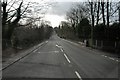
Pincock Brow
Pincock Brow, approaching bridge over River Yarrow
Image: © Galatas
Taken: 5 Feb 2008
0.07 miles
2

Euxton Methodist Church, Daisy Hill
The original Methodist Chapel building was erected in the early 1840s. This larger, red-brick chapel was built beside the old one 1902. The original chapel was used for many years until it was demolished in the late 1960s and with the modern building which is in the centre of the three seen here. The house on the far side is named 'Wesley House'; it would originally have been the manse of the resident minister.
Image: © David Dixon
Taken: 25 Nov 2014
0.07 miles
3
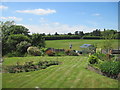
Euxton, near Chorley, Lancashire
Looking across gardens on Fieldside Avenue to the hills beyond.
Image: © Tricia Neal
Taken: 31 May 2013
0.08 miles
4

Pincock Bridge Euxton
Pincock Bridge over River Yarrow
Image: © Galatas
Taken: 5 Feb 2008
0.08 miles
6
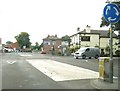
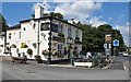
Euxton Mills public house
This pub stands at the junction of the A49 [Wigan Road] and the A581 [Dawber's Lane].
Image: © Ann Cook
Taken: 5 Sep 2010
0.10 miles
8
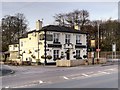
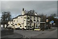
Euxton Mills
Public House at the corner of Wigan Road (A49) and Dawber's Lane (A581). Originally built in 1760 as a coaching house called 'The Grapes'.
Image: © David Dixon
Taken: 25 Nov 2014
0.11 miles
10
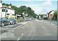
Mini-roundabout by the Euxton Mills public house
Image: © Ann Cook
Taken: 29 Aug 2010
0.12 miles