
IMAGES TAKEN NEAR TO
Hamilton Road, CHORLEY, PR7 2TJ
Introduction
This page details the photographs taken nearby to Hamilton Road, PR7 2TJ by members of the Geograph project.
The Geograph project started in 2005 with the aim of publishing, organising and preserving representative images for every square kilometre of Great Britain, Ireland and the Isle of Man.

There are currently over 7.5m images from over14,400 individuals and you can help contribute to the project by visiting https://www.geograph.org.uk
Image Map
Images are licensed for reuse under creativecommons.org/licenses/by-sa/2.0
Notes
- Clicking on the map will re-center to the selected point.
- The higher the marker number, the further away the image location is from the centre of the postcode.
Image Listing (58 Images Found)
Images are licensed for reuse under creativecommons.org/licenses/by-sa/2.0
Image
Details
Distance
1
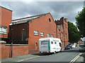
Drill Hall - Lancaster House
Lancaster House, c1880 drill hall still used by RAMC unit.
In 1914 used by G & H Company, 4th Battalion Loyal North Lancashire
Image: © John M
Taken: 17 Jul 2015
0.05 miles
2
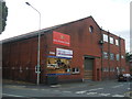
Drill Hall - Regent Road elevation
Lancaster House, c1880 drill hall still used by RAMC unit.
In 1914 used by G & H Company, 4th Battalion Loyal North Lancashire
Image: © John M
Taken: 17 Jul 2015
0.05 miles
3
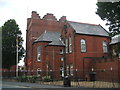
Drill Hall - Devonshire Road
Lancaster House, c1880 drill hall still used by RAMC unit.
In 1914 used by G & H Company, 4th Battalion Loyal North Lancashire Regiment.
Image: © John M
Taken: 17 Jul 2015
0.06 miles
4
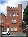
Drill hall - tower
Lancaster House, c1880 drill hall still used by RAMC unit.
In 1914 used by G & H Company, 4th Battalion Loyal North Lancashire
Image: © John M
Taken: 17 Jul 2015
0.06 miles
5
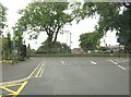
Exit from the car park onto Devonshire Road
The entrance to the Clinic of Osteopathy and Physiotherapy can be seen on the left.
Image: © Ann Cook
Taken: 11 Aug 2010
0.12 miles
6
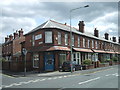
Lancashire Mind offices
Lancashire Mind are a charitable organisation based in Chorley Lancashire specialising in 'Better Mental Wellbeing for all'.
Image: © John M
Taken: 17 Jul 2015
0.12 miles
7
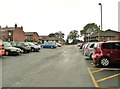
West Street car park looking towards Devonshire Road
Image: © Ann Cook
Taken: 29 Aug 2012
0.14 miles
8
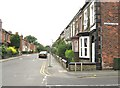
Gillibrand Street and the junction of Lennon Street
Image: © Ann Cook
Taken: 11 Aug 2010
0.15 miles
9
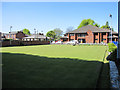
St Mary's parish centre and bowling green
Looking across the well-manicured bowling green outside St Mary's Parish Centre, Mount Pleasant. http://www.stmarys-chorley.org/St_Marys_Parish_Centre_Club.html
Image: © John S Turner
Taken: 28 Apr 2011
0.15 miles
10

Traffic calming on Devonshire Road
Collinson Avenue can be seen on the left.
Image: © Ann Cook
Taken: 11 Aug 2010
0.15 miles