IMAGES TAKEN NEAR TO
Roddlesworth Lane, CHORLEY, PR6 8DX
Introduction
This page details the photographs taken nearby to Roddlesworth Lane, PR6 8DX by members of the Geograph project.
The Geograph project started in 2005 with the aim of publishing, organising and preserving representative images for every square kilometre of Great Britain, Ireland and the Isle of Man.

There are currently over 7.5m images from over14,400 individuals and you can help contribute to the project by visiting https://www.geograph.org.uk
Image Map
Images are licensed for reuse under creativecommons.org/licenses/by-sa/2.0
Notes
- Clicking on the map will re-center to the selected point.
- The higher the marker number, the further away the image location is from the centre of the postcode.
Image Listing (10 Images Found)
Images are licensed for reuse under creativecommons.org/licenses/by-sa/2.0
Image
Details
Distance
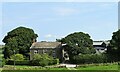
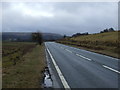
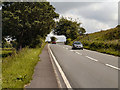
9
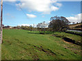
Pasture by the A675 south of Abbey Village
Image: © Karl and Ali
Taken: 7 Apr 2011
0.22 miles
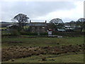
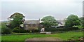
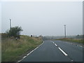
10
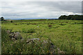
Fields for grazing near Roddlesworth
Moorland grazing land with a distant view of Bowland.
Image: © Bill Boaden
Taken: 30 Aug 2021
0.24 miles