IMAGES TAKEN NEAR TO
Hillcrest Avenue, PRESTON, PR2 9SE
Introduction
This page details the photographs taken nearby to Hillcrest Avenue, PR2 9SE by members of the Geograph project.
The Geograph project started in 2005 with the aim of publishing, organising and preserving representative images for every square kilometre of Great Britain, Ireland and the Isle of Man.

There are currently over 7.5m images from over14,400 individuals and you can help contribute to the project by visiting https://www.geograph.org.uk
Image Map
Images are licensed for reuse under creativecommons.org/licenses/by-sa/2.0
Notes
- Clicking on the map will re-center to the selected point.
- The higher the marker number, the further away the image location is from the centre of the postcode.
Image Listing (19 Images Found)
Images are licensed for reuse under creativecommons.org/licenses/by-sa/2.0
Image
Details
Distance
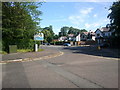
1
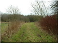
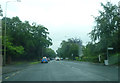
Track in Fulwood
This leads to somebody's garden, though it looks like a farm track. It is 'chopped off' by Eastway, the northern ring road.
Image: © David Medcalf
Taken: 6 Feb 2006
0.10 miles
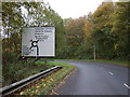
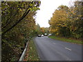
7
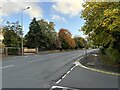
A6 road at junction with Beech Drive
Image: © David Robinson
Taken: 19 Oct 2024
0.19 miles