
IMAGES TAKEN NEAR TO
Wyresdale Crescent, PRESTON, PR2 6UN
Introduction
This page details the photographs taken nearby to Wyresdale Crescent, PR2 6UN by members of the Geograph project.
The Geograph project started in 2005 with the aim of publishing, organising and preserving representative images for every square kilometre of Great Britain, Ireland and the Isle of Man.

There are currently over 7.5m images from over14,400 individuals and you can help contribute to the project by visiting https://www.geograph.org.uk
Image Map
Images are licensed for reuse under creativecommons.org/licenses/by-sa/2.0
Notes
- Clicking on the map will re-center to the selected point.
- The higher the marker number, the further away the image location is from the centre of the postcode.
Image Listing (10 Images Found)
Images are licensed for reuse under creativecommons.org/licenses/by-sa/2.0
Image
Details
Distance
1
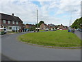
Houses by Watling Street Road, Brookfield
Image: © Richard Law
Taken: 22 May 2019
0.07 miles
2
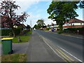
Along Watling Street Road near Moorland Avenue
Image: © Richard Law
Taken: 22 May 2019
0.08 miles
3
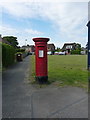
George VI postbox, Watling Street Road
Postbox number PR2 242D at the junction of Watling Street Road with Cromwell Road. There's another a little way to the SW at Image
Image: © Richard Law
Taken: 22 May 2019
0.11 miles
5
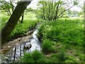
Savick Brook
Flowing beside the path in Sandybrook Woodland Trust.
Image: © Russel Wills
Taken: 10 Jun 2013
0.19 miles
6
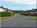
Between Silverdale Drive and Halstead Road
Part of the Brookfield housing estate.
Image: © Richard Law
Taken: 22 May 2019
0.21 miles
7
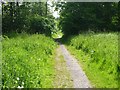
Path through Sandybrook Woodland Trust
A haven of peace close to the bustle of the M6.
Image: © Russel Wills
Taken: 10 Jun 2013
0.22 miles
8
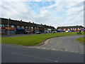
Houses and shops just off Watling Street Road
A parade of small, local shops in the Brookfield area.
Image: © Richard Law
Taken: 22 May 2019
0.22 miles
9
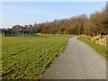
Cycleway Through Brookfield
This is a cycleway through a patch of greenery called Brookfield in Ribbleton, Preston. There is a basketball court to the left.
Image: © Rude Health
Taken: 18 Feb 2013
0.22 miles
10
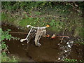
Eaves Brook
A less attractive aspect of the brook. (Part of a circular walk around Preston – continues at Image)
Image: © Patrick
Taken: 9 Sep 2007
0.25 miles