IMAGES TAKEN NEAR TO
Ashfields, LEYLAND, PR26 7UW
Introduction
This page details the photographs taken nearby to Ashfields, PR26 7UW by members of the Geograph project.
The Geograph project started in 2005 with the aim of publishing, organising and preserving representative images for every square kilometre of Great Britain, Ireland and the Isle of Man.

There are currently over 7.5m images from over14,400 individuals and you can help contribute to the project by visiting https://www.geograph.org.uk
Image Map
Images are licensed for reuse under creativecommons.org/licenses/by-sa/2.0
Notes
- Clicking on the map will re-center to the selected point.
- The higher the marker number, the further away the image location is from the centre of the postcode.
Image Listing (20 Images Found)
Images are licensed for reuse under creativecommons.org/licenses/by-sa/2.0
Image
Details
Distance
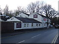

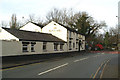
7
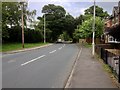
Dunkirk Lane seen the corner of School Lane
Image: © Ann Cook
Taken: 19 Mar 2011
0.15 miles
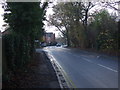
9
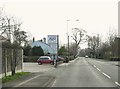
Tractor on the B5248 passing the Black Bull
Image: © David Long
Taken: 16 Jan 2006
0.16 miles