
IMAGES TAKEN NEAR TO
Brian Johnson Way, PRESTON, PR2 5PE
Introduction
This page details the photographs taken nearby to Brian Johnson Way, PR2 5PE by members of the Geograph project.
The Geograph project started in 2005 with the aim of publishing, organising and preserving representative images for every square kilometre of Great Britain, Ireland and the Isle of Man.

There are currently over 7.5m images from over14,400 individuals and you can help contribute to the project by visiting https://www.geograph.org.uk
Image Map
Images are licensed for reuse under creativecommons.org/licenses/by-sa/2.0
Notes
- Clicking on the map will re-center to the selected point.
- The higher the marker number, the further away the image location is from the centre of the postcode.
Image Listing (24 Images Found)
Images are licensed for reuse under creativecommons.org/licenses/by-sa/2.0
Image
Details
Distance


3

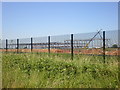
Industrial units near Red Scar from Lancashire Way
Image: © Ian Greig
Taken: 28 Mar 2014
0.07 miles
6
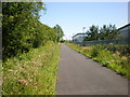
Footpath
On the alignment of the dismantled Preston to Longridge Railway.
Image: © Alexander P Kapp
Taken: 24 Jun 2009
0.08 miles
8
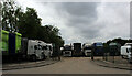
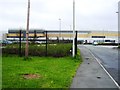
Lorry Park in Red Scar
Belonging to MM Acquisitions - specialists in the sale of used commercial vehicles.
Image: © Chris Heaton
Taken: 11 Jun 2022
0.10 miles
9

White van man's delight
VW's van centre off Blue Bell Way
Image: © Alexander P Kapp
Taken: 24 Jun 2009
0.10 miles
10

A Grand Entrance
A rather palatial looking gateway gives a false impression as there is nothing built behind it
Image: © K A
Taken: 8 Jun 2013
0.13 miles