IMAGES TAKEN NEAR TO
Wood End, PRESTON, PR1 9FU
Introduction
This page details the photographs taken nearby to Wood End, PR1 9FU by members of the Geograph project.
The Geograph project started in 2005 with the aim of publishing, organising and preserving representative images for every square kilometre of Great Britain, Ireland and the Isle of Man.

There are currently over 7.5m images from over14,400 individuals and you can help contribute to the project by visiting https://www.geograph.org.uk
Image Map (Loading...)


Getting Data...Please wait
Leaflet Map data © OpenStreetMap
Images are licensed for reuse under creativecommons.org/licenses/by-sa/2.0
Notes
- Clicking on the map will re-center to the selected point.
- The higher the marker number, the further away the image location is from the centre of the postcode.
Image Listing (10 Images Found)
Images are licensed for reuse under creativecommons.org/licenses/by-sa/2.0
Image
Details
Distance
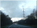
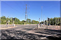
2
Penwortham Way (A582) towards Preston
Looking north west.
Image: © JThomas
Taken: 25 Oct 2018
0.11 miles
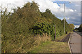
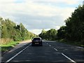
4
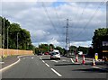
Golden Way near Preston
The A582 is part of the Preston by-pass.
Image: © Steve Daniels
Taken: 6 Sep 2018
0.16 miles
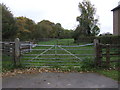
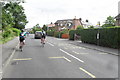
6
Pope Lane towards White Stake
Looking south west.
Image: © JThomas
Taken: 25 Oct 2018
0.18 miles
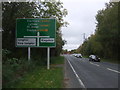
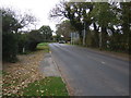
8
Golden Way near Kingsfold
The A582 is part of the Preston by-pass.
Image: © Steve Daniels
Taken: 6 Sep 2018
0.23 miles