IMAGES TAKEN NEAR TO
Gleave Close, SOUTHSEA, PO4 8FP
Introduction
This page details the photographs taken nearby to Gleave Close, PO4 8FP by members of the Geograph project.
The Geograph project started in 2005 with the aim of publishing, organising and preserving representative images for every square kilometre of Great Britain, Ireland and the Isle of Man.

There are currently over 7.5m images from over14,400 individuals and you can help contribute to the project by visiting https://www.geograph.org.uk
Image Map
Images are licensed for reuse under creativecommons.org/licenses/by-sa/2.0
Notes
- Clicking on the map will re-center to the selected point.
- The higher the marker number, the further away the image location is from the centre of the postcode.
Image Listing (74 Images Found)
Images are licensed for reuse under creativecommons.org/licenses/by-sa/2.0
Image
Details
Distance
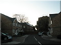
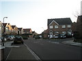
3
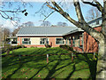
The Limes
An NHS establishment for mental health inpatients.
Image: © Robin Webster
Taken: 8 Dec 2013
0.07 miles
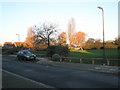
7
A winter's day in Milebush Road Recreation Ground
Image: © Basher Eyre
Taken: 6 Dec 2008
0.12 miles
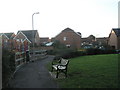
8
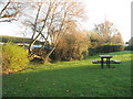
Picnic area within Milebush Road Recreation Ground
Image: © Basher Eyre
Taken: 6 Dec 2008
0.12 miles
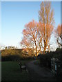
10
Seat by the playpark in Milebush Road Recreation Ground
Image: © Basher Eyre
Taken: 6 Dec 2008
0.13 miles