IMAGES TAKEN NEAR TO
Hook Lane, CHICHESTER, PO20 3TS
Introduction
This page details the photographs taken nearby to Hook Lane, PO20 3TS by members of the Geograph project.
The Geograph project started in 2005 with the aim of publishing, organising and preserving representative images for every square kilometre of Great Britain, Ireland and the Isle of Man.

There are currently over 7.5m images from over14,400 individuals and you can help contribute to the project by visiting https://www.geograph.org.uk
Image Map
Images are licensed for reuse under creativecommons.org/licenses/by-sa/2.0
Notes
- Clicking on the map will re-center to the selected point.
- The higher the marker number, the further away the image location is from the centre of the postcode.
Image Listing (82 Images Found)
Images are licensed for reuse under creativecommons.org/licenses/by-sa/2.0
Image
Details
Distance
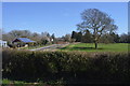
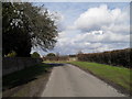
1
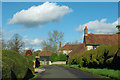
Curious hedges on Hook Lane
The hedges hide away houses that are probably of some character.
Image: © Robin Webster
Taken: 26 Jan 2012
0.01 miles
3
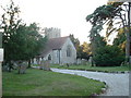
St Mary the Virgin
At Aldingbourne in the centre of the village.
Image: © Chris Shaw
Taken: Unknown
0.11 miles
4
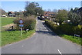
Lane from the overflow cemetery to Westergate
Image: © Basher Eyre
Taken: 20 Feb 2010
0.11 miles
6
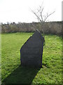
Striking gravestone in the overflow cemetery at Aldingbourne
Image: © Basher Eyre
Taken: 20 Feb 2010
0.13 miles
7
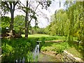
Aldingbourne, brook
Feeding into the millpond.
Image: © Mike Faherty
Taken: 17 May 2014
0.14 miles
8
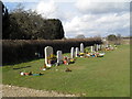
Overflow cemetery at St Mary, Aldingbourne
Image: © Basher Eyre
Taken: 20 Feb 2010
0.14 miles
10
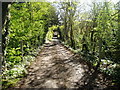
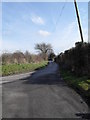
Track to Park Lane
Public footpath 287.
Image: © Peter Holmes
Taken: 21 Apr 2012
0.14 miles