IMAGES TAKEN NEAR TO
Gravel Lane, CHICHESTER, PO19 8PQ
Introduction
This page details the photographs taken nearby to Gravel Lane, PO19 8PQ by members of the Geograph project.
The Geograph project started in 2005 with the aim of publishing, organising and preserving representative images for every square kilometre of Great Britain, Ireland and the Isle of Man.

There are currently over 7.5m images from over14,400 individuals and you can help contribute to the project by visiting https://www.geograph.org.uk
Image Map
Images are licensed for reuse under creativecommons.org/licenses/by-sa/2.0
Notes
- Clicking on the map will re-center to the selected point.
- The higher the marker number, the further away the image location is from the centre of the postcode.
Image Listing (73 Images Found)
Images are licensed for reuse under creativecommons.org/licenses/by-sa/2.0
Image
Details
Distance
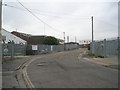
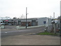
2
Farm machinery as seen from Quarry Lane
Image: © Basher Eyre
Taken: 22 Jan 2011
0.06 miles
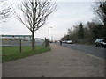
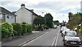
3
Gravel Lane seen from Quarry Lane
I have a 1988 map which shows that Gravel Lane was called Quarry Lane. Neither of them look like proper lanes to me.
Image: © Shazz
Taken: 22 Jan 2012
0.06 miles
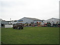
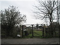
5
Looking from Quarry Lane into Gravel Lane
Image: © Basher Eyre
Taken: 22 Jan 2011
0.07 miles
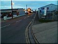
8
Whyke Road Level Crossing
The line is the west coastway that links Southampton and Portsmouth to Brighton and London. Whyke Road is the B2145.
Image: © Simon Carey
Taken: 24 Aug 2006
0.09 miles
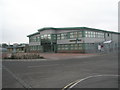
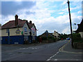
10
The junction of Whyke Road and Rumbolds Close
Image: © David Howard
Taken: 22 Aug 2011
0.10 miles