IMAGES TAKEN NEAR TO
Broyle Road, CHICHESTER, PO19 6BA
Introduction
This page details the photographs taken nearby to Broyle Road, PO19 6BA by members of the Geograph project.
The Geograph project started in 2005 with the aim of publishing, organising and preserving representative images for every square kilometre of Great Britain, Ireland and the Isle of Man.

There are currently over 7.5m images from over14,400 individuals and you can help contribute to the project by visiting https://www.geograph.org.uk
Image Map
Images are licensed for reuse under creativecommons.org/licenses/by-sa/2.0
Notes
- Clicking on the map will re-center to the selected point.
- The higher the marker number, the further away the image location is from the centre of the postcode.
Image Listing (124 Images Found)
Images are licensed for reuse under creativecommons.org/licenses/by-sa/2.0
Image
Details
Distance
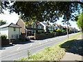
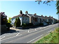
3
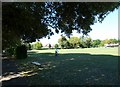
Pavement between Broyle Road and Oaklands Park
Image: © Basher Eyre
Taken: 3 Jun 2010
0.02 miles
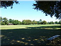
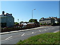
5
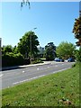
Junction of King George Gardens and Broyle Road
Image: © Basher Eyre
Taken: 3 Jun 2010
0.03 miles
6
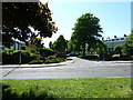
The first day of Spring around unseen Chichester (272)
Spur in Little Breach
Image: © Basher Eyre
Taken: 21 Mar 2011
0.04 miles
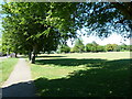
7
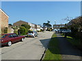
Looking from Broyle Road into King George Gardens
Image: © Basher Eyre
Taken: 3 Jun 2010
0.05 miles
9
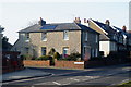
House on Infirmary Terrace, Chichester, Sussex
A mixture of the old, and new. The house is built in a period style; faced with flints, a traditional building material. It also sports a solar panel on the roof.
Image: © Peter Trimming
Taken: 16 Mar 2010
0.06 miles