IMAGES TAKEN NEAR TO
High Street, FAREHAM, PO16 7AG
Introduction
This page details the photographs taken nearby to High Street, PO16 7AG by members of the Geograph project.
The Geograph project started in 2005 with the aim of publishing, organising and preserving representative images for every square kilometre of Great Britain, Ireland and the Isle of Man.

There are currently over 7.5m images from over14,400 individuals and you can help contribute to the project by visiting https://www.geograph.org.uk
Image Map
Images are licensed for reuse under creativecommons.org/licenses/by-sa/2.0
Notes
- Clicking on the map will re-center to the selected point.
- The higher the marker number, the further away the image location is from the centre of the postcode.
Image Listing (462 Images Found)
Images are licensed for reuse under creativecommons.org/licenses/by-sa/2.0
Image
Details
Distance
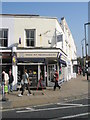
1
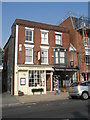
Red Lion Hotel, Fareham
The building has a much older looking courtyard at the rear.
Image: © Basher Eyre
Taken: 20 Nov 2007
0.00 miles
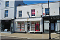
4

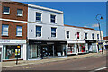
Looking westwards in Fareham town centre
A cold, wet and windy start to the day.
Image: © Basher Eyre
Taken: 19 Nov 2007
0.01 miles
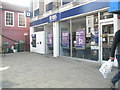
7
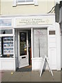
Fareham Foothealth Clinic in the High Street
Image: © Basher Eyre
Taken: 19 Sep 2009
0.01 miles
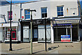
8
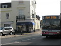
Overflowing bins near RBS in Fareham town centre
Image: © Basher Eyre
Taken: 19 Sep 2009
0.01 miles