IMAGES TAKEN NEAR TO
Main Road, EMSWORTH, PO10 8AT
Introduction
This page details the photographs taken nearby to Main Road, PO10 8AT by members of the Geograph project.
The Geograph project started in 2005 with the aim of publishing, organising and preserving representative images for every square kilometre of Great Britain, Ireland and the Isle of Man.

There are currently over 7.5m images from over14,400 individuals and you can help contribute to the project by visiting https://www.geograph.org.uk
Image Map
Images are licensed for reuse under creativecommons.org/licenses/by-sa/2.0
Notes
- Clicking on the map will re-center to the selected point.
- The higher the marker number, the further away the image location is from the centre of the postcode.
Image Listing (32 Images Found)
Images are licensed for reuse under creativecommons.org/licenses/by-sa/2.0
Image
Details
Distance
1
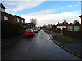
Havant Road looking east from Southbourne Avenue
Image: © Shazz
Taken: 17 Mar 2012
0.04 miles
3
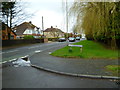
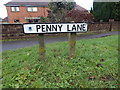
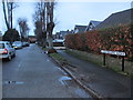
Penny Lane
Leading north from the A259 at Hermitage, West Sussex.
Image: © Jonathan Billinger
Taken: 14 Aug 2007
0.11 miles
4
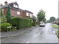
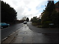
Penny Lane, Hermitage
From the A259.
Image: © Hamish Griffin
Taken: 29 Jan 2015
0.12 miles
6
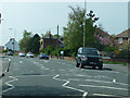
Penny Lane junction
Looking onto the A259, towards Emsworth.
Image: © Hamish Griffin
Taken: 29 Jan 2015
0.12 miles
7
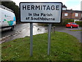
Hermitage sign
Looking onto the A259 at the Penny Lane junction.
Image: © Hamish Griffin
Taken: 29 Jan 2015
0.13 miles
8
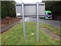
Back of Hermitage sign
Looking towards Southbourne. See Image for the front.
Image: © Hamish Griffin
Taken: 29 Jan 2015
0.13 miles
10
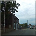
The Sussex Brewery on Main Road, Hermitage
Image: © David Smith
Taken: 26 Jun 2013
0.17 miles