IMAGES TAKEN NEAR TO
Polmear Road, PAR, PL24 2AN
Introduction
This page details the photographs taken nearby to Polmear Road, PL24 2AN by members of the Geograph project.
The Geograph project started in 2005 with the aim of publishing, organising and preserving representative images for every square kilometre of Great Britain, Ireland and the Isle of Man.

There are currently over 7.5m images from over14,400 individuals and you can help contribute to the project by visiting https://www.geograph.org.uk
Image Map (Loading...)


Getting Data...Please wait
Leaflet Map data © OpenStreetMap
Images are licensed for reuse under creativecommons.org/licenses/by-sa/2.0
Notes
- Clicking on the map will re-center to the selected point.
- The higher the marker number, the further away the image location is from the centre of the postcode.
Image Listing (42 Images Found)
Images are licensed for reuse under creativecommons.org/licenses/by-sa/2.0
Image
Details
Distance
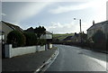
1
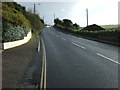
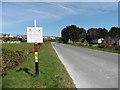
Polmear Road (A3082)
Heading east towards Fowey.
Image: © JThomas
Taken: 7 Nov 2014
0.03 miles
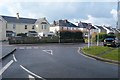
3
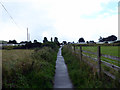
Path to Par Holiday Village
A right of way which provides access to the beach and the South West Coastal Path.
Image: © John Lucas
Taken: 8 Aug 2017
0.08 miles
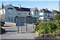
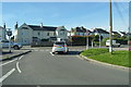
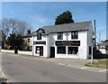
5
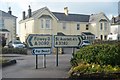
Par Library and shops
On Eastcliffe Road (National Cycle Route 2).
Image: © JThomas
Taken: 7 Nov 2014
0.09 miles
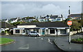
7
Private road, owned by mineral company
Image: © Roger Cornfoot
Taken: 18 Apr 2018
0.09 miles