IMAGES TAKEN NEAR TO
Ryder Road, PLYMOUTH, PL2 1JA
Introduction
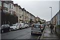
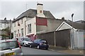
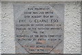
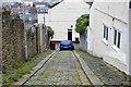
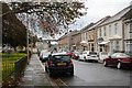
This page details the photographs taken nearby to Ryder Road, PL2 1JA by members of the Geograph project.
The Geograph project started in 2005 with the aim of publishing, organising and preserving representative images for every square kilometre of Great Britain, Ireland and the Isle of Man.

There are currently over 7.5m images from over14,400 individuals and you can help contribute to the project by visiting https://www.geograph.org.uk
Image Map
Images are licensed for reuse under creativecommons.org/licenses/by-sa/2.0
Notes
- Clicking on the map will re-center to the selected point.
- The higher the marker number, the further away the image location is from the centre of the postcode.
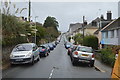
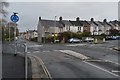
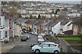
Image Listing (144 Images Found)
Images are licensed for reuse under creativecommons.org/licenses/by-sa/2.0
Image
Details
Distance
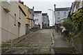
4
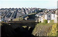
Former LSWR railway viaduct St Levan Road, Plymouth
Track bed of the former LSWR railway line through Plymouth. Taken in early 1979 looking north. The viaduct was subsequently demolished.
Image: © Crispin Purdye
Taken: Unknown
0.08 miles