IMAGES TAKEN NEAR TO
Harford Road, IVYBRIDGE, PL21 0AR
Introduction
This page details the photographs taken nearby to Harford Road, PL21 0AR by members of the Geograph project.
The Geograph project started in 2005 with the aim of publishing, organising and preserving representative images for every square kilometre of Great Britain, Ireland and the Isle of Man.

There are currently over 7.5m images from over14,400 individuals and you can help contribute to the project by visiting https://www.geograph.org.uk
Image Map
Images are licensed for reuse under creativecommons.org/licenses/by-sa/2.0
Notes
- Clicking on the map will re-center to the selected point.
- The higher the marker number, the further away the image location is from the centre of the postcode.
Image Listing (94 Images Found)
Images are licensed for reuse under creativecommons.org/licenses/by-sa/2.0
Image
Details
Distance
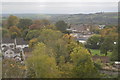
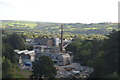
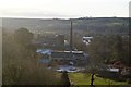
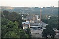
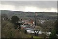
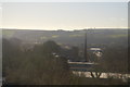
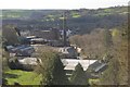
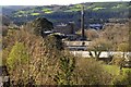
5
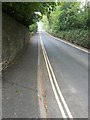
Harford Road
Heading up towards Cole Lane. This is part of the route out of Ivybridge used by the Two Moors Way.
Image: © jeff collins
Taken: 25 Apr 2020
0.04 miles