IMAGES TAKEN NEAR TO
Staddon Terrace Lane, PLYMOUTH, PL1 5DL
Introduction
This page details the photographs taken nearby to Staddon Terrace Lane, PL1 5DL by members of the Geograph project.
The Geograph project started in 2005 with the aim of publishing, organising and preserving representative images for every square kilometre of Great Britain, Ireland and the Isle of Man.

There are currently over 7.5m images from over14,400 individuals and you can help contribute to the project by visiting https://www.geograph.org.uk
Image Map (Loading...)


Getting Data...Please wait
Leaflet Map data © OpenStreetMap
Images are licensed for reuse under creativecommons.org/licenses/by-sa/2.0
Notes
- Clicking on the map will re-center to the selected point.
- The higher the marker number, the further away the image location is from the centre of the postcode.
Image Listing (925 Images Found)
Images are licensed for reuse under creativecommons.org/licenses/by-sa/2.0
Image
Details
Distance
4
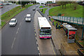
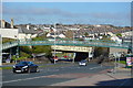
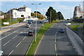
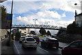
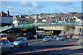
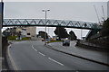
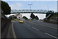
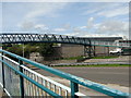
Saltash Road, Plymouth
Seen from the footbridge, a bus heading for Keyham pauses at a stop on Saltash Road.
Image: © Stephen McKay
Taken: 20 Oct 2009
0.02 miles