IMAGES TAKEN NEAR TO
Pelynt, LOOE, PL13 2LY
Introduction
This page details the photographs taken nearby to PL13 2LY by members of the Geograph project.
The Geograph project started in 2005 with the aim of publishing, organising and preserving representative images for every square kilometre of Great Britain, Ireland and the Isle of Man.

There are currently over 7.5m images from over14,400 individuals and you can help contribute to the project by visiting https://www.geograph.org.uk
Image Map
Images are licensed for reuse under creativecommons.org/licenses/by-sa/2.0
Notes
- Clicking on the map will re-center to the selected point.
- The higher the marker number, the further away the image location is from the centre of the postcode.
Image Listing (13 Images Found)
Images are licensed for reuse under creativecommons.org/licenses/by-sa/2.0
Image
Details
Distance
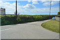
1
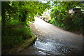
Ford at West Watergate
This ford is found at the road junction in West Watergate.
Image: © John Walton
Taken: 20 Sep 2015
0.04 miles
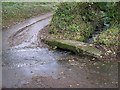
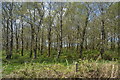
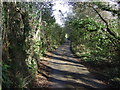
3
Road towards Trenderway
Little more than a track, fording the stream at West Watergate.
Image: © JThomas
Taken: 7 Nov 2014
0.06 miles
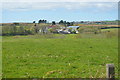
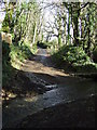
4
Lane at West Watergate
Heading east towards the A387.
Image: © JThomas
Taken: 7 Nov 2014
0.07 miles
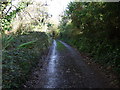
5
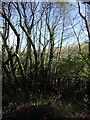
Lane towards West Watergate
Heading north east beside a stream.
Image: © JThomas
Taken: 7 Nov 2014
0.14 miles