
IMAGES TAKEN NEAR TO
West Terrace, KINGUSSIE, PH21 1HB
Introduction
This page details the photographs taken nearby to West Terrace, PH21 1HB by members of the Geograph project.
The Geograph project started in 2005 with the aim of publishing, organising and preserving representative images for every square kilometre of Great Britain, Ireland and the Isle of Man.

There are currently over 7.5m images from over14,400 individuals and you can help contribute to the project by visiting https://www.geograph.org.uk
Image Map
Images are licensed for reuse under creativecommons.org/licenses/by-sa/2.0
Notes
- Clicking on the map will re-center to the selected point.
- The higher the marker number, the further away the image location is from the centre of the postcode.
Image Listing (13 Images Found)
Images are licensed for reuse under creativecommons.org/licenses/by-sa/2.0
Image
Details
Distance
1
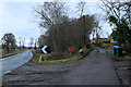
Pitmain Farm Kingussie
Entrance road into Pitmain Farm.
Image: © edward mcmaihin
Taken: 24 Jan 2014
0.09 miles
2
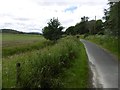
Kingussie to Newtonmore path, Pitmain
A cycle/foot path beside the old A9.
Image: © Richard Webb
Taken: 21 Jul 2016
0.10 miles
5
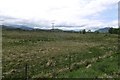
Wetland, Pitmain
Spey flood plain between Kingussie and Newtonmore.
Image: © Richard Webb
Taken: 28 May 2017
0.21 miles
7
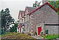
Homewood Lodge Hotel, Kingussie 1991
View west of front of hotel.
Image: © Ben Brooksbank
Taken: 5 Sep 1991
0.22 miles
8
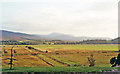
Evening view southward from Homewood Lodge Hotel, Kingussie 1991
View over valley and River Spey, and across Inverness - Aviemore - Perth main railway just west of Kingussie station. On the horizon is (probably) Mell Buie (2,055 ft.) in the northern part of Glen Feshie Forest, Cairngorms massif; see also Image [But, what is the dead-straight roadway going under the railway??].
Image: © Ben Brooksbank
Taken: 4 Sep 1991
0.22 miles
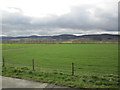
10
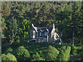
House above the A86
On the western outskirts of Kingussie.
Image: © John Allan
Taken: 13 Jun 2013
0.23 miles