IMAGES TAKEN NEAR TO
Sunderland Avenue, OXFORD, OX2 8DU
Introduction
This page details the photographs taken nearby to Sunderland Avenue, OX2 8DU by members of the Geograph project.
The Geograph project started in 2005 with the aim of publishing, organising and preserving representative images for every square kilometre of Great Britain, Ireland and the Isle of Man.

There are currently over 7.5m images from over14,400 individuals and you can help contribute to the project by visiting https://www.geograph.org.uk
Image Map
Images are licensed for reuse under creativecommons.org/licenses/by-sa/2.0
Notes
- Clicking on the map will re-center to the selected point.
- The higher the marker number, the further away the image location is from the centre of the postcode.
Image Listing (108 Images Found)
Images are licensed for reuse under creativecommons.org/licenses/by-sa/2.0
Image
Details
Distance
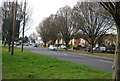
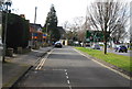
6
Carey Close
Five Mile Drive passing Carey Close
Image: © Shaun Ferguson
Taken: 23 Jan 2010
0.06 miles
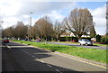
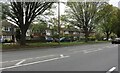
9
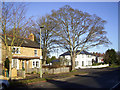
Five Mile Drive
Looking at the pictures for this square you can see how given over to transport it is. Roads, railway and canal all feature heavily in the collection.
But there are some people living here as well.
Image: © Des Blenkinsopp
Taken: 8 Dec 2014
0.09 miles
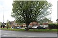
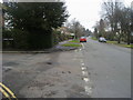
10

Benchmark on #50 Five Mile Drive
Ordnance Survey cut mark benchmark described on the Bench Mark Database at http://www.bench-marks.org.uk/bm46197
Image: © Roger Templeman
Taken: 13 Nov 2012
0.09 miles