IMAGES TAKEN NEAR TO
Holwell, BURFORD, OX18 4LD
Introduction
This page details the photographs taken nearby to OX18 4LD by members of the Geograph project.
The Geograph project started in 2005 with the aim of publishing, organising and preserving representative images for every square kilometre of Great Britain, Ireland and the Isle of Man.

There are currently over 7.5m images from over14,400 individuals and you can help contribute to the project by visiting https://www.geograph.org.uk
Image Map
Images are licensed for reuse under creativecommons.org/licenses/by-sa/2.0
Notes
- Clicking on the map will re-center to the selected point.
- The higher the marker number, the further away the image location is from the centre of the postcode.
Image Listing (16 Images Found)
Images are licensed for reuse under creativecommons.org/licenses/by-sa/2.0
Image
Details
Distance
2
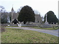
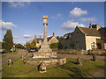
Church of St Mary the Virgin Holwell
Church of St Mary the Virgin Holwell with village war memorial in front
Image: © Shaun Ferguson
Taken: 5 Feb 2011
0.10 miles
5
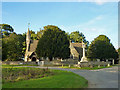
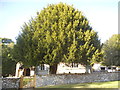
Holwell church
St. Mary's is another church whose best aspect is spoilt by a large tree planted within the churchyard. Give trees an inch and they take a mile.
Image: © Robin Webster
Taken: 3 Oct 2014
0.10 miles
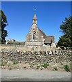
7

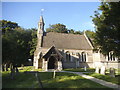
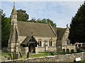
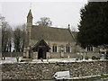
Church of St Mary the Virgin Holwell
Built in the late 19th century.
Image: © pam fray
Taken: 11 Sep 2016
0.10 miles