
IMAGES TAKEN NEAR TO
Holloway Hill, BANBURY, OX15 5JA
Introduction
This page details the photographs taken nearby to Holloway Hill, OX15 5JA by members of the Geograph project.
The Geograph project started in 2005 with the aim of publishing, organising and preserving representative images for every square kilometre of Great Britain, Ireland and the Isle of Man.

There are currently over 7.5m images from over14,400 individuals and you can help contribute to the project by visiting https://www.geograph.org.uk
Image Map
Images are licensed for reuse under creativecommons.org/licenses/by-sa/2.0
Notes
- Clicking on the map will re-center to the selected point.
- The higher the marker number, the further away the image location is from the centre of the postcode.
Image Listing (21 Images Found)
Images are licensed for reuse under creativecommons.org/licenses/by-sa/2.0
Image
Details
Distance
2
![Green End Farm [2]](https://s2.geograph.org.uk/geophotos/02/32/48/2324826_5b25dd56_120x120.jpg)
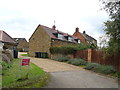
Green End Farm [2]
A second view of the farm from the B4035.
Image: © Michael Dibb
Taken: 29 Aug 2010
0.03 miles
3
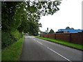
B4035 near Green End Farm
Towards Swalcliffe.
Image: © JThomas
Taken: 5 Oct 2019
0.05 miles
4
![Green End Farm [1]](https://s0.geograph.org.uk/geophotos/02/32/48/2324824_bc491a85_120x120.jpg)
Green End Farm [1]
Seen from the B4035 as it climbs Holloway Hill.
Image: © Michael Dibb
Taken: 29 Aug 2010
0.05 miles
5
![Through the crop [1]](https://s0.geograph.org.uk/geophotos/03/03/11/3031144_c528ebac_120x120.jpg)
Through the crop [1]
The footpath heads through the crop as it starts to ascend Milne Hill.
Image: © Michael Dibb
Taken: 5 Jun 2012
0.09 miles
6
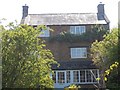
Brailes cottage
This attractive property is in Salt Way Lane, Lower Brailes.
Image: © Michael Dibb
Taken: 11 Jun 2011
0.11 miles
7
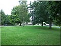
Village green
This small green is alongside the B4035 road in Lower Brailes.
Image: © Michael Dibb
Taken: 29 Aug 2010
0.12 miles
8
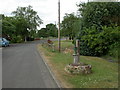
Lower Brailes, village pump
Recently re-instated, in Rectory Lane; possibly originally replacing the structure to the right, which might have been the village well.
Image: © Mike Faherty
Taken: 2 Jul 2010
0.16 miles
9
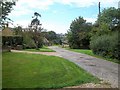
Towards Home Farm
The unmade road leads past several houses to Home Farm.
Image: © Michael Dibb
Taken: 29 Aug 2010
0.17 miles
10
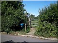
Footpath leaves road
The village and surrounding area of Lower Brailes is criss-crossed with many footpaths well looked after by the local footpath society. Here a footpath to the church leaves Salt Way Lane.
Image: © Michael Dibb
Taken: 11 Jun 2011
0.18 miles