IMAGES TAKEN NEAR TO
Slade Road, WALLINGFORD, OX10 9PD
Introduction
This page details the photographs taken nearby to Slade Road, OX10 9PD by members of the Geograph project.
The Geograph project started in 2005 with the aim of publishing, organising and preserving representative images for every square kilometre of Great Britain, Ireland and the Isle of Man.

There are currently over 7.5m images from over14,400 individuals and you can help contribute to the project by visiting https://www.geograph.org.uk
Image Map
Images are licensed for reuse under creativecommons.org/licenses/by-sa/2.0
Notes
- Clicking on the map will re-center to the selected point.
- The higher the marker number, the further away the image location is from the centre of the postcode.
Image Listing (363 Images Found)
Images are licensed for reuse under creativecommons.org/licenses/by-sa/2.0
Image
Details
Distance
1
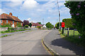
Slade Road, Cholsey
Slade Road connects Ilges Lane to Cross Road on the edge of Cholsey village.
Image: © Stephen McKay
Taken: 4 May 2022
0.01 miles
2
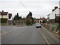
Ilges Lane
Ilges Lane with the junction of Panters Road on the left.
Image: © Bill Nicholls
Taken: 6 Mar 2008
0.02 miles
3
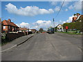
Slade road
Slade Road which joins up with cross roads, you can get to the Wallingford road by going this way
Image: © Bill Nicholls
Taken: 6 Apr 2008
0.04 miles
4
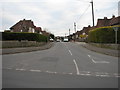
Panters Road
Panters Road, another old previously Council-owned estate now mostly private, leads on into Honey Park.
Image: © Bill Nicholls
Taken: 6 Mar 2008
0.06 miles
5
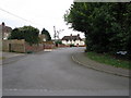
Rowland Road
Rowland road was once Council owned housing but is now mostly privately owned.
Image: © Bill Nicholls
Taken: 6 Mar 2008
0.07 miles
6
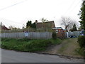
For Sale
Along Ilges lane in Cholsey, I await the next stage as planning has been given to build three houses on this plot which is sold.
Image: © Bill Nicholls
Taken: 24 Nov 2017
0.08 miles
7
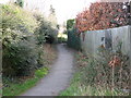
Scraggs Alley
This used to be the only way up to four cottages which were built in 1839. They were converted into a pair, it now leads to Amwell Place.
Image: © Bill Nicholls
Taken: 1 Mar 2008
0.08 miles
8
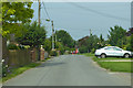
Ilges Lane, Cholsey
Towards the village centre.
Image: © Robin Webster
Taken: 23 Jun 2019
0.08 miles
9
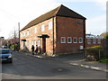
The Eagle
This was the Eagle, a Morlands pub. At least the beer was more drinkable than the Morrels stuff which was served in some other pubs. The Eagle shut back in the 1990s, it's now a couple of houses.
Image: © Bill Nicholls
Taken: 1 Mar 2008
0.09 miles