IMAGES TAKEN NEAR TO
Dean Terrace, ASHTON-UNDER-LYNE, OL6 8AL
Introduction
This page details the photographs taken nearby to Dean Terrace, OL6 8AL by members of the Geograph project.
The Geograph project started in 2005 with the aim of publishing, organising and preserving representative images for every square kilometre of Great Britain, Ireland and the Isle of Man.

There are currently over 7.5m images from over14,400 individuals and you can help contribute to the project by visiting https://www.geograph.org.uk
Image Map
Images are licensed for reuse under creativecommons.org/licenses/by-sa/2.0
Notes
- Clicking on the map will re-center to the selected point.
- The higher the marker number, the further away the image location is from the centre of the postcode.
Image Listing (57 Images Found)
Images are licensed for reuse under creativecommons.org/licenses/by-sa/2.0
Image
Details
Distance
2
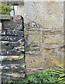
OS Cut Mark - Park Bridge, Keverlow Farm
https://www.bench-marks.org.uk/bm60764
Image: © thejackrustles
Taken: 19 Jul 2022
0.03 miles
3
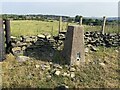
The Rock Trig Point Flush Bracket S2786
Image: © thejackrustles
Taken: 19 Jul 2022
0.12 miles
7
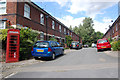
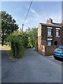
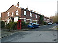
Worker's houses , Park Bridge
These rows of houses were built for the workers at Park Bridge Iron works.
Image: © Stephen Darlington
Taken: 27 Aug 2015
0.14 miles
9
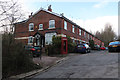
Dingle Terrace, Park Bridge
This is a former industrial settlement with a former cotton mill that had become an ironworks. These relatively nice houses were probably occupied by managers rather than labourers.
Image: © Chris Allen
Taken: 17 Mar 2018
0.14 miles