
IMAGES TAKEN NEAR TO
Countess Street, ASHTON-UNDER-LYNE, OL6 6UE
Introduction
This page details the photographs taken nearby to Countess Street, OL6 6UE by members of the Geograph project.
The Geograph project started in 2005 with the aim of publishing, organising and preserving representative images for every square kilometre of Great Britain, Ireland and the Isle of Man.

There are currently over 7.5m images from over14,400 individuals and you can help contribute to the project by visiting https://www.geograph.org.uk
Image Map
Images are licensed for reuse under creativecommons.org/licenses/by-sa/2.0
Notes
- Clicking on the map will re-center to the selected point.
- The higher the marker number, the further away the image location is from the centre of the postcode.
Image Listing (92 Images Found)
Images are licensed for reuse under creativecommons.org/licenses/by-sa/2.0
Image
Details
Distance
1
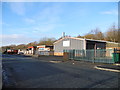
Industrial Units
On Whitelands Road, Ashton-under-Lyne.
Image: © John Topping
Taken: 16 Dec 2012
0.02 miles
2
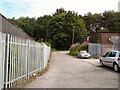
Plantation Road
Leading off Whitelands Road to Countess Street.
Image: © Gerald England
Taken: 15 Jul 2011
0.03 miles
3
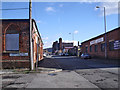
Whitelands Road
Running along Tame Valley the old mills and workshops built along Whitelands Road had good access to the Huddersfield Narrow Canal that runs parallel to the road at this point.
Image: © Stephen Burton
Taken: 10 Feb 2016
0.04 miles
4
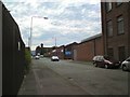
Whitelands Road
Industrial area near Wellington Mill.
Image: © Gerald England
Taken: 15 Jul 2011
0.05 miles
5
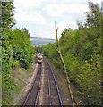
Train to Stalybridge
The line from Manchester Piccadilly at Bank Top.
Image: © Gerald England
Taken: 20 May 2010
0.06 miles
6
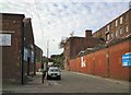
Plantation Road
Industrial estate off Whitelands Road.
Image: © Gerald England
Taken: 15 Jul 2011
0.06 miles
7
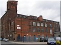
Wellington Mill Dukinfield
This is Wellington Mill; it was a cotton mill and is now used for other businesses.
Image: © englishmills
Taken: 6 May 2010
0.07 miles
8
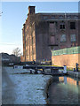
Huddersfield Narrow Canal, Plantation Lock
Lock 2W on the Huddersfield Narrow Canal, between Stalybridge and Ashton-Under-Lyne.
Image: © David Dixon
Taken: 13 Dec 2012
0.07 miles
9
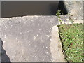
Benchmark at Plantation Lock
Lock 2W on the Huddersfield Narrow Canal
Image: © John Slater
Taken: 23 Jul 2012
0.07 miles
10
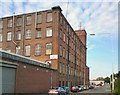
Wellington Mill
Built in 1857 between Whitelands Road and the Huddersfield Narrow Canal.
Image: © Gerald England
Taken: 15 Jul 2011
0.07 miles