
IMAGES TAKEN NEAR TO
Fulham Street, OLDHAM, OL4 5JU
Introduction
This page details the photographs taken nearby to Fulham Street, OL4 5JU by members of the Geograph project.
The Geograph project started in 2005 with the aim of publishing, organising and preserving representative images for every square kilometre of Great Britain, Ireland and the Isle of Man.

There are currently over 7.5m images from over14,400 individuals and you can help contribute to the project by visiting https://www.geograph.org.uk
Image Map
Images are licensed for reuse under creativecommons.org/licenses/by-sa/2.0
Notes
- Clicking on the map will re-center to the selected point.
- The higher the marker number, the further away the image location is from the centre of the postcode.
Image Listing (18 Images Found)
Images are licensed for reuse under creativecommons.org/licenses/by-sa/2.0
Image
Details
Distance
1
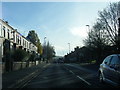
A669 Lees Road nearing Clarksfield Road junction
Image: © Colin Pyle
Taken: 19 Nov 2017
0.10 miles
2
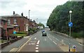
End of Bus Lane
The bus lane on the A669 from Lees through Salem ends at Clarksfield.
Image: © Gerald England
Taken: 3 Jul 2013
0.10 miles
4
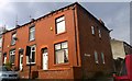
Corner of Roundthorn and Chatsworth Roads
Red-brick terraced houses at the corner of Roundthorn Road and Chatsworth Road, in the Clarksfield area of Oldham, Greater Manchester.
Image: © Steven Haslington
Taken: 11 Apr 2016
0.15 miles
5
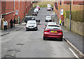
New Earth Street, Glodwick
This is the bottom end of New Earth Street near where it meets Roundthorn Road. On the far side of Roundthorn Road is Aspull Street. Glodwick has a high Asian population.
Image: © michael ely
Taken: 21 Mar 2011
0.16 miles
6

Cycle route following line of former railway
This view across Cranbrook Street just off the path shows the route is on the top of infill, since only the bridge parapet is visible of the former railway bridge. The path is on the former Oldham to Greenfield line.
Image: © Kevin Waterhouse
Taken: 10 Feb 2023
0.16 miles
7
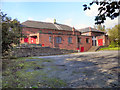
Salem Moravian Church, Lees Road
A late twentieth century building which replaced the original Moravian church in Clarksfield, Oldham. According to this http://en.wikipedia.org/wiki/Salem_Moravian_Church , on Wikipedia, the original church here was founded in 1825 by Brother John Lees, a prosperous member of the Fairfield Moravian (http://www.geograph.org.uk/snippet/1336 ) congregation.
Image: © David Dixon
Taken: 13 Oct 2011
0.17 miles
8
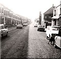
Clarksfield Road
Superior terraced housing with "bay windows"!
Image: © Gerald England
Taken: Unknown
0.17 miles
9
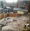
Clarksfield Allotment
Allotment off Clarksfield Road on land belonging to Clarksfield Tennis Club. Not long after the land was sold for housing.
Image: © Gerald England
Taken: Unknown
0.20 miles
10
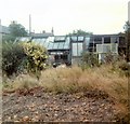
Clarksfield Allotment
Allotment off Clarksfield Road on land belonging to Clarksfield Tennis Club. Not long after the land was sold for housing.
Image: © Gerald England
Taken: Unknown
0.20 miles