
IMAGES TAKEN NEAR TO
Bradley Fold, OLDHAM, OL4 3FN
Introduction
This page details the photographs taken nearby to Bradley Fold, OL4 3FN by members of the Geograph project.
The Geograph project started in 2005 with the aim of publishing, organising and preserving representative images for every square kilometre of Great Britain, Ireland and the Isle of Man.

There are currently over 7.5m images from over14,400 individuals and you can help contribute to the project by visiting https://www.geograph.org.uk
Image Map
Images are licensed for reuse under creativecommons.org/licenses/by-sa/2.0
Notes
- Clicking on the map will re-center to the selected point.
- The higher the marker number, the further away the image location is from the centre of the postcode.
Image Listing (46 Images Found)
Images are licensed for reuse under creativecommons.org/licenses/by-sa/2.0
Image
Details
Distance
1
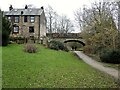
Cycle path following route of former railway
The path is approaching the former railway bridge at St. John Street which is one of the few not infilled on the route. The path runs from Oldham to Grotton along the former line to Greenfield.
Image: © Kevin Waterhouse
Taken: 10 Feb 2023
0.05 miles

3
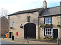
Former entrance to the Grapes public house
Showing position of Postbox No. OL4 45.
See Image] for postbox.
Image: © JThomas
Taken: 2 Nov 2018
0.10 miles
4

Elizabeth II postbox on St John Street, Lees
On the wall of the Grapes public house.
Postbox No. OL4 45.
See Image] for context.
Image: © JThomas
Taken: 2 Nov 2018
0.10 miles
5
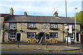
The Grapes public house, Lees
On St John Street.
Image: © JThomas
Taken: 2 Nov 2018
0.10 miles
6
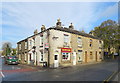
Chinese takeaway and terraced housing, Lees
On St John Street.
Image: © JThomas
Taken: 2 Nov 2018
0.12 miles
9
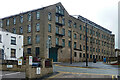
Acorn Mill, Lees
Little survives of the original 1800 cotton mill for James Dyson. It was rebuilt after a fire in 1825, much remodelled in the 1840s, and raised by a storey later in the C19th. (The listing calls it "Hey Lane Mill".) Grade II listed.
Now mostly, if not entirely, converted to flats.
Image: © Stephen Richards
Taken: 13 Jun 2016
0.17 miles
10
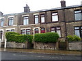
Stamford Road, Lees
Stone terraced housing on Stamford Road in Lees, Greater Manchester, England. This housing stock is typical of Lees, a predominately stone-built suburban village adjoining Oldham.
Image: © Steven Haslington
Taken: 30 May 2011
0.18 miles