
IMAGES TAKEN NEAR TO
Derwent Walk, OLDHAM, OL4 2DJ
Introduction
This page details the photographs taken nearby to Derwent Walk, OL4 2DJ by members of the Geograph project.
The Geograph project started in 2005 with the aim of publishing, organising and preserving representative images for every square kilometre of Great Britain, Ireland and the Isle of Man.

There are currently over 7.5m images from over14,400 individuals and you can help contribute to the project by visiting https://www.geograph.org.uk
Image Map
Images are licensed for reuse under creativecommons.org/licenses/by-sa/2.0
Notes
- Clicking on the map will re-center to the selected point.
- The higher the marker number, the further away the image location is from the centre of the postcode.
Image Listing (16 Images Found)
Images are licensed for reuse under creativecommons.org/licenses/by-sa/2.0
Image
Details
Distance
1
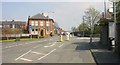
Greenacres
Looking eastwards along Greenacres Road, Oldham, with the Green Acres pub on the left and the entrance to Greenacres Cemetery on the right.
Image: © Martin Clark
Taken: Unknown
0.09 miles
2
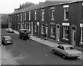
Ryeburne Street, Oldham
The horse drawn milk-float is Alan Lees', of Lower Barrowshaw Farm. Alan himself delivers the milk here.
Image: © M Campbell
Taken: Unknown
0.14 miles
3
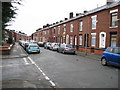
Hollinhall Street Oldham
A very typical row of terraced houses which are a familiar sight in the Oldham area.
Image: © Paul Anderson
Taken: 6 Jan 2007
0.22 miles
4
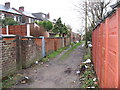
Rear of Hollinhall Street Oldham
This is typical of the rear access to most of the terraced houses in this area of Oldham
Image: © Paul Anderson
Taken: 6 Jan 2007
0.22 miles
5
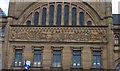
Oldham Equitable Co-operative Society
Ornate facade of a building that has seen better days.
Image: © michael ely
Taken: 24 Mar 2008
0.22 miles
6
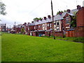
Rear of Huddersfield Road, Oldham
The rear of Huddersfield Road on its course through Waterhead in Oldham, Greater Manchester.
Image: © Steven Haslington
Taken: 30 May 2011
0.22 miles
8
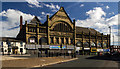
Oldham Cooperative Building
The Oldham Cooperative Building at the junction of the A672 with the A62.
Image: © Peter McDermott
Taken: 2 Jul 2017
0.23 miles
9
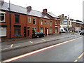
371 to 379 Huddersfield Road, Oldham
371 to 379 Huddersfield Road in the Waterhead area of Oldham, in Greater Manchester. These red-brick terraced houses are typical of many parts of Oldham and of Greater Manchester as a whole.
Image: © Steven Haslington
Taken: 30 May 2011
0.23 miles
10
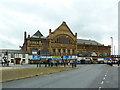
Everything but the Co-op
The Oldham Equitable Co-operative Society Building
Image: © Alexander P Kapp
Taken: 22 Nov 2012
0.23 miles