IMAGES TAKEN NEAR TO
Chew Valley Road, OLDHAM, OL3 7PF
Introduction
This page details the photographs taken nearby to Chew Valley Road, OL3 7PF by members of the Geograph project.
The Geograph project started in 2005 with the aim of publishing, organising and preserving representative images for every square kilometre of Great Britain, Ireland and the Isle of Man.

There are currently over 7.5m images from over14,400 individuals and you can help contribute to the project by visiting https://www.geograph.org.uk
Image Map
Images are licensed for reuse under creativecommons.org/licenses/by-sa/2.0
Notes
- Clicking on the map will re-center to the selected point.
- The higher the marker number, the further away the image location is from the centre of the postcode.
Image Listing (56 Images Found)
Images are licensed for reuse under creativecommons.org/licenses/by-sa/2.0
Image
Details
Distance
1
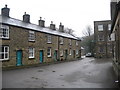
Mill Workers Cottages Greenfield
These old mill workers cottages are in the mill yard of Tanner Brothers Waterside Mill in Greenfield.
You could only live in these cottages if you were an employee of the mill.
Waterside mill used to weave heavy industrial cotton until production ceased in 2001.
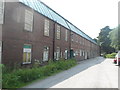
The former cotton mill on the right has been split up into different industrial units and is now called the Tanner Business Centre.
Image: © Paul Anderson
Taken: 30 Mar 2007
0.02 miles
3
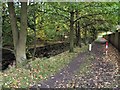
Brookside Path
This path runs beside the stream which is the runoff from Dovestones reservoir, about half a mile further up the valley from Greenfield.
Image: © Roger May
Taken: 30 Oct 2005
0.03 miles
4

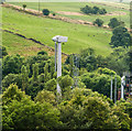
Turbine and tower to train working at height
Capital Safety Training & Services based at Waterside Mill provides a wide range of Work at Height services covering; training, consultancy and inspection.
Image: © Anthony Parkes
Taken: 18 Jul 2013
0.04 miles
6

Chew Brook, Greenfield
Looking upstream from Waterside.
Image: © David Dixon
Taken: 17 Mar 2013
0.08 miles

8
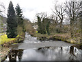
Chew Brook, Weir at Greenfield
Looking downstream from Waterside.
Image: © David Dixon
Taken: 17 Mar 2013
0.09 miles
9
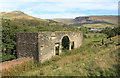
Waterside, Greenfield
The ruined building would seem to have once been a barn that was converted to a dwelling before being abandoned. The former Greenfield paper mill is visible on the right of the picture.
Image: © Michael Fox
Taken: 27 Sep 2011
0.10 miles