
IMAGES TAKEN NEAR TO
Greenmans Lane, Friezland Lane, OLDHAM, OL3 7HA
Introduction
This page details the photographs taken nearby to Greenmans Lane, Friezland Lane, OL3 7HA by members of the Geograph project.
The Geograph project started in 2005 with the aim of publishing, organising and preserving representative images for every square kilometre of Great Britain, Ireland and the Isle of Man.

There are currently over 7.5m images from over14,400 individuals and you can help contribute to the project by visiting https://www.geograph.org.uk
Image Map
Images are licensed for reuse under creativecommons.org/licenses/by-sa/2.0
Notes
- Clicking on the map will re-center to the selected point.
- The higher the marker number, the further away the image location is from the centre of the postcode.
Image Listing (33 Images Found)
Images are licensed for reuse under creativecommons.org/licenses/by-sa/2.0
Image
Details
Distance
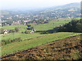
2
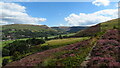
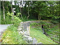
On the Oldham Way above Cowards, Greenfield
Image: © Colin Park
Taken: 3 Aug 2022
0.07 miles
3
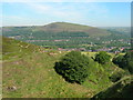
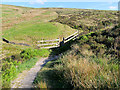
Warlow Brook Clough, Bank Top - Greenfield
View w/n/west over Warlow Brook towards the Wharmton Hill Transmitter. The Oldham Way is on the left heading down to Friezland Lane.
Image: © John Topping
Taken: 22 Jun 2010
0.09 miles
5
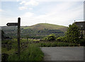
Pennine Bridleway, Woolleys Hill
The national trail bears left down Friezland Lane towards Greenfield. The PBW fingerpost is at the Friezland Lane/Moor Edge Road/Intake Lane junction.
Image: © michael ely
Taken: 30 Jun 2010
0.10 miles
10
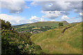
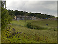
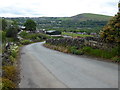
Warlow Clough
The tree on the right marks the site of Mount Pleasant Farm. In the background, Pots and Pans Hill rises above Greenfield village.
Image: © Michael Fox
Taken: 6 Jul 2011
0.12 miles