
IMAGES TAKEN NEAR TO
Denbydale Way, OLDHAM, OL2 5UH
Introduction
This page details the photographs taken nearby to Denbydale Way, OL2 5UH by members of the Geograph project.
The Geograph project started in 2005 with the aim of publishing, organising and preserving representative images for every square kilometre of Great Britain, Ireland and the Isle of Man.

There are currently over 7.5m images from over14,400 individuals and you can help contribute to the project by visiting https://www.geograph.org.uk
Image Map
Images are licensed for reuse under creativecommons.org/licenses/by-sa/2.0
Notes
- Clicking on the map will re-center to the selected point.
- The higher the marker number, the further away the image location is from the centre of the postcode.
Image Listing (12 Images Found)
Images are licensed for reuse under creativecommons.org/licenses/by-sa/2.0
Image
Details
Distance
1
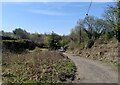
Thorp Clough, Royton
Thorp clough (the stream runs to the left of the picture out of view and enters the river Irk about 500ft down stream). This is the site of a water powered mill built in 1764 and reputed to be the first such mill in what is now the metropolitan borough of Oldham and possibly the first in Lancashire. Cottages remained here until the 1960's.
Image: © Michael Smith
Taken: 22 Apr 2021
0.10 miles
2
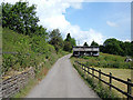
Old pigeon loft
On the side of the track that links Oozewood Road, Royton to Bridge Road, Street Bridge, near Chadderton.
Image: © michael ely
Taken: 16 Jun 2008
0.11 miles
4
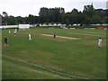
Royton Cricket Club - The Paddock
Royton Cricket Club play in the Central Lancashire League. This picture of "The Paddock" is taken from in front of the pavilion before a youth match.
Image: © BatAndBall
Taken: 1 Aug 2011
0.14 miles
5
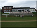
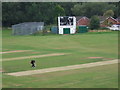
Royton Cricket Club - Pavilion
The pavilion at The Paddock, Royton CC's ground.
Image: © BatAndBall
Taken: 1 Aug 2011
0.14 miles
6
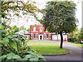
Downey House, Royton
This pleasant location is St. Paul's Parish Centre, for the church of that name to the right of shot, on Church Street, Royton.
Image: © Roger May
Taken: 10 Oct 2005
0.22 miles
7
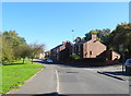
Middleton Road, Haggate
Looking north east on the B6195.
Image: © JThomas
Taken: 10 Oct 2018
0.22 miles
8
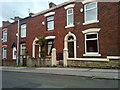
Church Street, Royton
Red-brick terraced housing on Church Street, in Royton, Greater Manchester, England. This type of housing stock is typical of much of Royton and of Greater Manchester.
Image: © Steven Haslington
Taken: 6 Jun 2011
0.22 miles
10
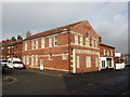
Former Royton Industrial Cooperative Society building
On the corner of Rainshaw Street and Middleton Road, Royton
Image: © Alexander P Kapp
Taken: 1 Feb 2010
0.24 miles