IMAGES TAKEN NEAR TO
Crabtree Avenue, BACUP, OL13 9PF
Introduction
This page details the photographs taken nearby to Crabtree Avenue, OL13 9PF by members of the Geograph project.
The Geograph project started in 2005 with the aim of publishing, organising and preserving representative images for every square kilometre of Great Britain, Ireland and the Isle of Man.

There are currently over 7.5m images from over14,400 individuals and you can help contribute to the project by visiting https://www.geograph.org.uk
Image Map
Images are licensed for reuse under creativecommons.org/licenses/by-sa/2.0
Notes
- Clicking on the map will re-center to the selected point.
- The higher the marker number, the further away the image location is from the centre of the postcode.
Image Listing (49 Images Found)
Images are licensed for reuse under creativecommons.org/licenses/by-sa/2.0
Image
Details
Distance
3
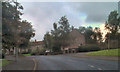
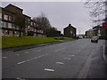
Pennine Road, Bacup
The lower end of Pennine Road, approaching the turn for Douglas Road (on the right).
Image: © David Dixon
Taken: 27 Aug 2010
0.05 miles
4
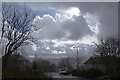
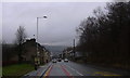
Pennine Road, Bacup
This is an estate with social housing. The lighting is a little strange due to heavy rain showers.
Image: © Bill Boaden
Taken: 8 Mar 2009
0.06 miles
6
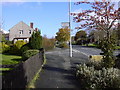
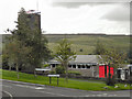
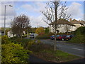
Pennine Road
This used to be called Fairview Road but due to its reputation the Council decided to rename it.
Image: © Robert Wade
Taken: 24 Oct 2008
0.08 miles
7
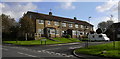
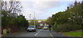
Station Court
Built as Fire Brigade houses most have now been sold, formerly Fairview Road.
Image: © Robert Wade
Taken: 24 Oct 2008
0.11 miles