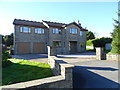
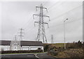
IMAGES TAKEN NEAR TO
Fell View, BACUP, OL13 8GA
Introduction
This page details the photographs taken nearby to Fell View, OL13 8GA by members of the Geograph project.
The Geograph project started in 2005 with the aim of publishing, organising and preserving representative images for every square kilometre of Great Britain, Ireland and the Isle of Man.

There are currently over 7.5m images from over14,400 individuals and you can help contribute to the project by visiting https://www.geograph.org.uk
Image Map
Images are licensed for reuse under creativecommons.org/licenses/by-sa/2.0
Notes
- Clicking on the map will re-center to the selected point.
- The higher the marker number, the further away the image location is from the centre of the postcode.
Image Listing (35 Images Found)
Images are licensed for reuse under creativecommons.org/licenses/by-sa/2.0
Image
Details
Distance
1
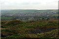
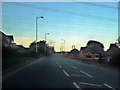
Village of Weir
As seen from the edge of Heald Moor
Image: © Chris Heaton
Taken: 2 May 2022
0.06 miles
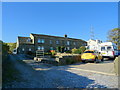
4
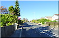
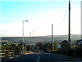
Burnley Road, Weir
Looking north on the A671.
Image: © JThomas
Taken: 18 Oct 2018
0.09 miles
7
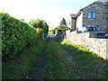
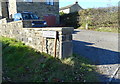
Little Wild Goblin Road
Track off the A671, Weir.
Image: © JThomas
Taken: 18 Oct 2018
0.11 miles
8
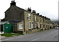
Wesley Terrace, Heald Lane, Weir, Lancashire
These well-built terrace houses, (the local stone is some of the finest in the world) date from the end of the nineteenth century, and would have originally been occupied mostly by workers at the local Irwell Springs Bleach and Print works. The Methodist chapel, from which they were named, stood further west almost opposite where the photographer is standing. No trace of this remains now. For maps showing what this and other nearby gridsquares were like in earlier times, see http://www.nearby.org.uk/geograph/media/view.php?id=571
Image: © Dr Neil Clifton
Taken: 15 Apr 2009
0.12 miles