IMAGES TAKEN NEAR TO
Millstream Close, BACUP, OL13 8BU
Introduction
This page details the photographs taken nearby to Millstream Close, OL13 8BU by members of the Geograph project.
The Geograph project started in 2005 with the aim of publishing, organising and preserving representative images for every square kilometre of Great Britain, Ireland and the Isle of Man.

There are currently over 7.5m images from over14,400 individuals and you can help contribute to the project by visiting https://www.geograph.org.uk
Image Map
Images are licensed for reuse under creativecommons.org/licenses/by-sa/2.0
Notes
- Clicking on the map will re-center to the selected point.
- The higher the marker number, the further away the image location is from the centre of the postcode.
Image Listing (162 Images Found)
Images are licensed for reuse under creativecommons.org/licenses/by-sa/2.0
Image
Details
Distance
3
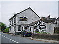
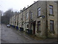
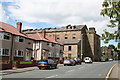
Irwell Inn, Burnley Road, Bacup
Aptly named, because the River Irwell is culvert under the pub
Image: © Alexander P Kapp
Taken: 30 May 2008
0.05 miles
4
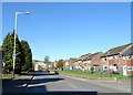
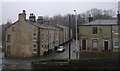
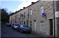
Burnley Road, Bacup
Looking north on the A671.
Image: © JThomas
Taken: 18 Oct 2018
0.06 miles
5
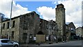
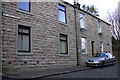
Waterside Mill remains
A listed building apparently being demolished
Image: © Kevin Waterhouse
Taken: 12 Apr 2021
0.06 miles
9
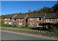
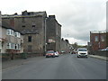
Holmes Mill, Burnley Road, Bacup, Lancashire
Almost every week it seems, Lancashire loses another cotton mill. Here work is just starting on the demolition of the large Holmes Mill on Burnley Road, Bacup
Image: © Dr Neil Clifton
Taken: 9 Jul 2007
0.08 miles