IMAGES TAKEN NEAR TO
Holts Buildings, BACUP, OL13 0LF
Introduction
This page details the photographs taken nearby to Holts Buildings, OL13 0LF by members of the Geograph project.
The Geograph project started in 2005 with the aim of publishing, organising and preserving representative images for every square kilometre of Great Britain, Ireland and the Isle of Man.

There are currently over 7.5m images from over14,400 individuals and you can help contribute to the project by visiting https://www.geograph.org.uk
Image Map
Images are licensed for reuse under creativecommons.org/licenses/by-sa/2.0
Notes
- Clicking on the map will re-center to the selected point.
- The higher the marker number, the further away the image location is from the centre of the postcode.
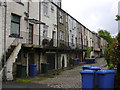
Image Listing (95 Images Found)
Images are licensed for reuse under creativecommons.org/licenses/by-sa/2.0
Image
Details
Distance
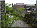
3
River Irwell Stacksteads
On its way to Manchester ! Taken from the Siding Street bridge
Image: © Robert Wade
Taken: 10 Jun 2007
0.03 miles
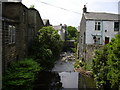
8
Disused Railway, Stacksteads.
Looking towards Atherton Holme.
Image: © Robert Wade
Taken: 24 Jul 2007
0.06 miles
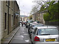
10
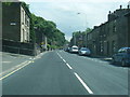
Newchurch Road, Stacksteads, Rossendale, Lancashire
Image: © Robert Wade
Taken: 22 Jun 2010
0.07 miles