
IMAGES TAKEN NEAR TO
Freeholds Terrace, ROCHDALE, OL12 8HL
Introduction
This page details the photographs taken nearby to Freeholds Terrace, OL12 8HL by members of the Geograph project.
The Geograph project started in 2005 with the aim of publishing, organising and preserving representative images for every square kilometre of Great Britain, Ireland and the Isle of Man.

There are currently over 7.5m images from over14,400 individuals and you can help contribute to the project by visiting https://www.geograph.org.uk
Image Map
Images are licensed for reuse under creativecommons.org/licenses/by-sa/2.0
Notes
- Clicking on the map will re-center to the selected point.
- The higher the marker number, the further away the image location is from the centre of the postcode.
Image Listing (31 Images Found)
Images are licensed for reuse under creativecommons.org/licenses/by-sa/2.0
Image
Details
Distance
1
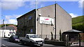
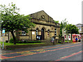
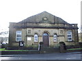
"The Shanter Working Men's Club" Market Street, Shawforth.
Had been "The Tam O' Shanter" public house, now a private dwelling.
Image: © Robert Wade
Taken: 5 Aug 2007
0.05 miles
2
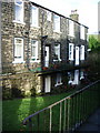
Jane Street, Whitworth
North side of Jane Street the houses are accessed by a walkway from the level of Market Street because of the steepness of the land as it falls away
Image: © Alexander P Kapp
Taken: 6 Feb 2008
0.05 miles
3
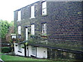
Jane Street, Whitworth
South side of Jane Street, again access is via a walkway from Market Street because of the steepness of the land
Image: © Alexander P Kapp
Taken: 6 Feb 2008
0.06 miles
4
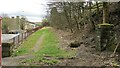
Former Approach Road to Shawforth Station Yard
The approach road runs parallel with Market Street but rises up to the former rail level
Image: © Kevin Waterhouse
Taken: 8 Apr 2021
0.06 miles
5
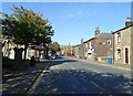
Bus stop and shelter on Market Street, Shawforth
Looking north on the A671.
Image: © JThomas
Taken: 10 Oct 2018
0.06 miles
6
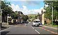
Market Street, Shawforth
Close to the junction with Quarry Street.
Image: © David Dixon
Taken: 27 Aug 2010
0.06 miles
9
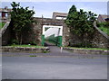
Shawforth Station Subway
Shawforth Station closed to passengers 1947.
Area now cleared and is covered by Knowsley Crescent. Subway opened out and used as access to the estate.
Image: © Peter Holton
Taken: 6 Jun 2004
0.10 miles
10
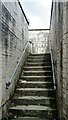
Former Shawforth Station Subway Steps
Steps leading up to what is now Knowsley Crescent housing
Image: © Kevin Waterhouse
Taken: 8 Apr 2021
0.10 miles