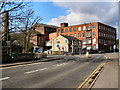
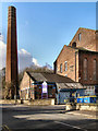
IMAGES TAKEN NEAR TO
Haslam Street, ROCHDALE, OL12 6QQ
Introduction
This page details the photographs taken nearby to Haslam Street, OL12 6QQ by members of the Geograph project.
The Geograph project started in 2005 with the aim of publishing, organising and preserving representative images for every square kilometre of Great Britain, Ireland and the Isle of Man.

There are currently over 7.5m images from over14,400 individuals and you can help contribute to the project by visiting https://www.geograph.org.uk
Image Map
Images are licensed for reuse under creativecommons.org/licenses/by-sa/2.0
Notes
- Clicking on the map will re-center to the selected point.
- The higher the marker number, the further away the image location is from the centre of the postcode.
Image Listing (28 Images Found)
Images are licensed for reuse under creativecommons.org/licenses/by-sa/2.0
Image
Details
Distance
1
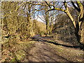
Spodden Valley
"Green corridor" along the side of the River Spodden. See http://www.rochdaleonline.co.uk/news-features/21/spodden-valley/1563/lower-spodden-valley-green-corridor-proposal for information about the Spodden Valley green corridor project.
Image: © David Dixon
Taken: 1 Mar 2010
0.10 miles
3
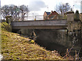
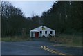
Spotland Bridge
Where Spotland Road crosses over the River Spodden.
Image: © David Dixon
Taken: 1 Mar 2010
0.12 miles
4
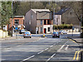
Spotland Bridge
Looking downhill on Spotland Road towards the junction at Spotland Bridge.
Image: © David Dixon
Taken: 1 Mar 2010
0.12 miles
5
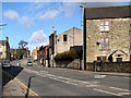
Spotland Road
Spotland Road at Spotland Bridge.
Image: © David Dixon
Taken: 1 Mar 2010
0.13 miles
6
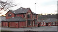
"Spotland Bridge Funeral Services" 225 Spotland Road, Rochdale
Was a pub
Image: © Robert Wade
Taken: 29 Jan 2011
0.13 miles
7

Rooley Moor Road at Spotland Bridge
A street sign that sets off-road cyclists' pulses racing. This is the start of the moorland track (a suburban road at first) that heads over the tops to Stacksteads in the Rossendale Valley. For most of its length it forms part of the Pennine Bridleway.
Image: © michael ely
Taken: 19 Aug 2011
0.13 miles
8
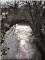
River Spodden
Downstream from Spotland Bridge
Image: © David Dixon
Taken: 1 Mar 2010
0.14 miles