IMAGES TAKEN NEAR TO
Marland Close, ROCHDALE, OL11 4RG
Introduction
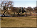
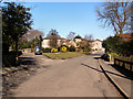
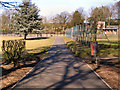
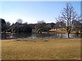
This page details the photographs taken nearby to Marland Close, OL11 4RG by members of the Geograph project.
The Geograph project started in 2005 with the aim of publishing, organising and preserving representative images for every square kilometre of Great Britain, Ireland and the Isle of Man.

There are currently over 7.5m images from over14,400 individuals and you can help contribute to the project by visiting https://www.geograph.org.uk
Image Map
Images are licensed for reuse under creativecommons.org/licenses/by-sa/2.0
Notes
- Clicking on the map will re-center to the selected point.
- The higher the marker number, the further away the image location is from the centre of the postcode.
Image Listing (11 Images Found)
Images are licensed for reuse under creativecommons.org/licenses/by-sa/2.0
Image
Details
Distance
4
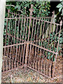
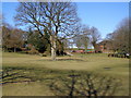
Kissing Gate?
I found this little treasure whilst walking through the woods at the rear of Springfield Park, I don't know how it was passed over when the war effort was collecting metal railings and the like. It still worked when I took this in 1995. I went back to look for it in 2002 armed with my brand new digital camera, sadly someone else had found it and destroyed it all that was left was a metal stump in the ground.
Image: © Jeff Mills
Taken: Unknown
0.21 miles