
IMAGES TAKEN NEAR TO
Abbey Crescent, HEYWOOD, OL10 4UG
Introduction
This page details the photographs taken nearby to Abbey Crescent, OL10 4UG by members of the Geograph project.
The Geograph project started in 2005 with the aim of publishing, organising and preserving representative images for every square kilometre of Great Britain, Ireland and the Isle of Man.

There are currently over 7.5m images from over14,400 individuals and you can help contribute to the project by visiting https://www.geograph.org.uk
Image Map
Images are licensed for reuse under creativecommons.org/licenses/by-sa/2.0
Notes
- Clicking on the map will re-center to the selected point.
- The higher the marker number, the further away the image location is from the centre of the postcode.
Image Listing (29 Images Found)
Images are licensed for reuse under creativecommons.org/licenses/by-sa/2.0
Image
Details
Distance
2
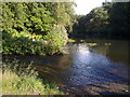
The confluence of Naden Brook and the River Roch
Naden Brook joins from the left, and drains off Scout Moor.
Image: © Bill Boaden
Taken: 9 Aug 2010
0.11 miles
3
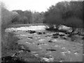
Fast running water at the weir on River Roch
Fast running water after a weekend of rain.
Image: © ANDY RAMMY
Taken: 20 Nov 2006
0.11 miles
4
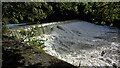
Weir on River Roch
West of the confluence with Naden Brook
Image: © Kevin Waterhouse
Taken: 10 Oct 2022
0.11 miles
5
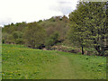
Gristlehurst Wood
Gristlehurst Wood in Roch Valley, on the northern side of Heywood.
Image: © David Dixon
Taken: 7 May 2010
0.15 miles
6

Hooley Bridge Mill
End of an era after christmas fire.
Image: © ANDY RAMMY
Taken: 1 Jan 2007
0.16 miles
7
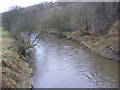
River Roch
Facing North East from the bridge at Bottom O' th' Brow
Image: © Paul Hogg
Taken: 19 Jan 2008
0.17 miles
9

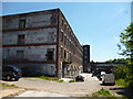
Bamford Road, Heywood
This is in the small enclave of Hooley Bridge north of the River Roch. The road gets very narrow at this point.
Image: © Bill Boaden
Taken: 9 Aug 2010
0.17 miles
10
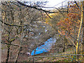
Cheesden Brook
Cheesden Brook, where it emerges from under the B6222 Bury and Rochdale Old Road, before going on to join the River Roch approx 150yards further downstream. Viewed from Simpson Clough Bridge.
Image: © David Dixon
Taken: 22 Nov 2010
0.18 miles