
IMAGES TAKEN NEAR TO
Stansfield Close, LOWESTOFT, NR33 9AE
Introduction
This page details the photographs taken nearby to Stansfield Close, NR33 9AE by members of the Geograph project.
The Geograph project started in 2005 with the aim of publishing, organising and preserving representative images for every square kilometre of Great Britain, Ireland and the Isle of Man.

There are currently over 7.5m images from over14,400 individuals and you can help contribute to the project by visiting https://www.geograph.org.uk
Image Map
Images are licensed for reuse under creativecommons.org/licenses/by-sa/2.0
Notes
- Clicking on the map will re-center to the selected point.
- The higher the marker number, the further away the image location is from the centre of the postcode.
Image Listing (14 Images Found)
Images are licensed for reuse under creativecommons.org/licenses/by-sa/2.0
Image
Details
Distance
1
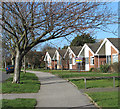
Pavement past bungalows in Westwood Avenue
Image: © Evelyn Simak
Taken: 16 Feb 2014
0.18 miles
2
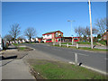
View towards the Suffolk Punch public house
Image: © Evelyn Simak
Taken: 16 Feb 2014
0.20 miles

6
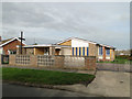
Oulton Broad St Luke the Evangelist's church
The church was built in 1959 on land donated by Mr and Mrs W. H. Winter. The church is just one of the amenities on the surrounding housing estate.
Image: © Adrian S Pye
Taken: 3 Nov 2010
0.22 miles
7
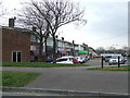
Row of shops
Row of shops on Westwood Avenue as seen with its junction of Pinewood Avenue near to Oulton Broad, Suffolk.
Image: © Keith Evans
Taken: 23 Mar 2016
0.22 miles
8
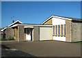
Entrance porch to St Luke the Evangelist's church
The church was built in 1959 in the same style as the adjoining bungalows. See also http://www.geograph.org.uk/photo/2142879.
Image: © Evelyn Simak
Taken: 16 Feb 2014
0.23 miles
9
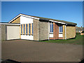
St Luke the Evangelist's church
The church was built in 1959 in the same style as the adjoining bungalows. See also > http://www.geograph.org.uk/photo/2142879.
Image: © Evelyn Simak
Taken: 16 Feb 2014
0.23 miles
10
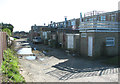
Parade of shops - the other side
This is a view taken from behind the shops - not quite as inviting as the shop fronts > http://www.geograph.org.uk/photo/3850440.
Image: © Evelyn Simak
Taken: 16 Feb 2014
0.23 miles