IMAGES TAKEN NEAR TO
Grove Dale, NORWICH, NR15 1QG
Introduction
This page details the photographs taken nearby to Grove Dale, NR15 1QG by members of the Geograph project.
The Geograph project started in 2005 with the aim of publishing, organising and preserving representative images for every square kilometre of Great Britain, Ireland and the Isle of Man.

There are currently over 7.5m images from over14,400 individuals and you can help contribute to the project by visiting https://www.geograph.org.uk
Image Map
Images are licensed for reuse under creativecommons.org/licenses/by-sa/2.0
Notes
- Clicking on the map will re-center to the selected point.
- The higher the marker number, the further away the image location is from the centre of the postcode.
Image Listing (17 Images Found)
Images are licensed for reuse under creativecommons.org/licenses/by-sa/2.0
Image
Details
Distance
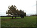
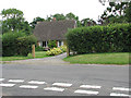
2
Newton Flotman Village Centre sign
Off Grove Way
Image: © Geographer
Taken: 29 Oct 2014
0.04 miles
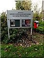
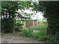
3
Newton Flotman Village Centre
Off Grove Way
Image: © Geographer
Taken: 29 Oct 2014
0.11 miles
4
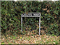
Grove Way sign
On Grove Way at the junction with Church Road
Image: © Geographer
Taken: 29 Oct 2014
0.12 miles
5
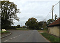
Church Road, Newton Flotman
At the junction with Grove Way
Image: © Geographer
Taken: 29 Oct 2014
0.13 miles
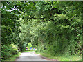
6
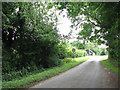
Approaching Newton Flotman on Church Road
Image: © Evelyn Simak
Taken: 26 Jul 2009
0.14 miles
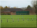
9
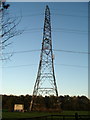
Electricity pylon, Newton Flotman
A power line runs roughly north-east to south-west through this square, roughly following the main Norwich to London railway line.
Image: © Jon Welch
Taken: 9 Nov 2006
0.21 miles
10
View north-west along Church Road
Approaching the level crossing.
Image: © Evelyn Simak
Taken: 26 Jul 2009
0.21 miles