IMAGES TAKEN NEAR TO
The Loke, NORWICH, NR11 7EH
Introduction
This page details the photographs taken nearby to The Loke, NR11 7EH by members of the Geograph project.
The Geograph project started in 2005 with the aim of publishing, organising and preserving representative images for every square kilometre of Great Britain, Ireland and the Isle of Man.

There are currently over 7.5m images from over14,400 individuals and you can help contribute to the project by visiting https://www.geograph.org.uk
Image Map
Images are licensed for reuse under creativecommons.org/licenses/by-sa/2.0
Notes
- Clicking on the map will re-center to the selected point.
- The higher the marker number, the further away the image location is from the centre of the postcode.
Image Listing (17 Images Found)
Images are licensed for reuse under creativecommons.org/licenses/by-sa/2.0
Image
Details
Distance
1
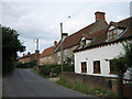
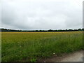
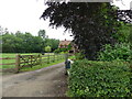
Suffield village street
A line of houses and cottages in this small village on the edge of Gunton Park
Image: © Zorba the Geek
Taken: 28 Jul 2007
0.10 miles
6
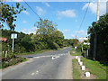
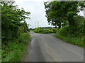
Road junction, Suffield
One corner of a triangular junction.
Image: © Robin Webster
Taken: 30 Sep 2013
0.18 miles
9
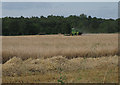
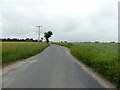
Combining barley near Gunton Park woods
A wet June and July 2007 for the rest of us wasn't all bad news for the farmers as the grain grew well. Then in late July, there was enough dry weather - in Norfolk at least - for the harvest to get going.
Image: © Zorba the Geek
Taken: 28 Jul 2007
0.19 miles