IMAGES TAKEN NEAR TO
Elizabeth Lane, NORWICH, NR10 5LQ
Introduction
This page details the photographs taken nearby to Elizabeth Lane, NR10 5LQ by members of the Geograph project.
The Geograph project started in 2005 with the aim of publishing, organising and preserving representative images for every square kilometre of Great Britain, Ireland and the Isle of Man.

There are currently over 7.5m images from over14,400 individuals and you can help contribute to the project by visiting https://www.geograph.org.uk
Image Map
Images are licensed for reuse under creativecommons.org/licenses/by-sa/2.0
Notes
- Clicking on the map will re-center to the selected point.
- The higher the marker number, the further away the image location is from the centre of the postcode.
Image Listing (4 Images Found)
Images are licensed for reuse under creativecommons.org/licenses/by-sa/2.0
Image
Details
Distance
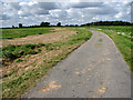
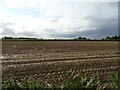
2
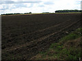
A not quite empty grid square
The only inhabited buildings, slightly NE of the centre of this grid square, are those of Patches Farm. The farm nestles within the wooded area seen (towards the left) on the horizon.
Image: © Evelyn Simak
Taken: 15 Sep 2007
0.16 miles