
IMAGES TAKEN NEAR TO
Sanders Road, WELLINGBOROUGH, NN8 4BX
Introduction
This page details the photographs taken nearby to Sanders Road, NN8 4BX by members of the Geograph project.
The Geograph project started in 2005 with the aim of publishing, organising and preserving representative images for every square kilometre of Great Britain, Ireland and the Isle of Man.

There are currently over 7.5m images from over14,400 individuals and you can help contribute to the project by visiting https://www.geograph.org.uk
Image Map
Images are licensed for reuse under creativecommons.org/licenses/by-sa/2.0
Notes
- Clicking on the map will re-center to the selected point.
- The higher the marker number, the further away the image location is from the centre of the postcode.
Image Listing (13 Images Found)
Images are licensed for reuse under creativecommons.org/licenses/by-sa/2.0
Image
Details
Distance
1
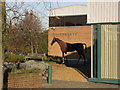
Weatherby's Garden
Detail of Finedon Road Industrial Estate.
Image: © Kokai
Taken: 17 Nov 2005
0.08 miles
2
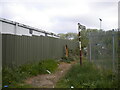
Public bridleway off Paterson Road, Wellingborough
Heading towards Finedon, which is 2 miles away according to the sign. Behind the fence on the left is the Household Waste Recycling Centre; unfortunately, the bridleway also seems to be in use as a rubbish disposal site.
Image: © Richard Vince
Taken: 7 May 2022
0.10 miles
3
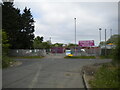
Entrance to Wellingborough Household Waste Recycling Centre
At the north end of Paterson Road.
Image: © Richard Vince
Taken: 7 May 2022
0.10 miles
4
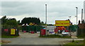
Household Waste Recycling Centre
Situated at the end of Paterson Road amongst the industrial estates north-east of Wellingborough.
Image: © Jonathan Billinger
Taken: 16 Jul 2008
0.11 miles
5
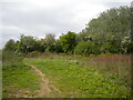
Public bridleway to Paterson Road, Wellingborough
Crossing a small patch of fairly wild ground on the north eastern edge of the town before entering an industrial estate. There were quite a lot of birds around here on this occasion: the large tree on the right was full of rather noisy rooks, some gulls (unfortunately I can't remember what type) were flying around to the left, red kites soared overhead, and I could occasionally hear the rattling of a woodpecker somewhere off to the right.
Image: © Richard Vince
Taken: 7 May 2022
0.11 miles
7
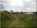
Public bridleway approaching Bush Bridge, Wellingborough
The bridleway uses the bridge to cross the Midland Main Line railway (some of whose overhead line equipment gantries can be seen on the left) then heads north towards Finedon. The railway line here was only electrified in the last few years, hence the recently rebuilt bridge.
Image: © Richard Vince
Taken: 7 May 2022
0.11 miles
8
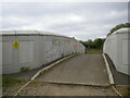
Bush Bridge, north east of Wellingborough
Carrying a public bridleway across the Midland Main Line. The bridge was rebuilt a few years ago in preparation for the electrification of the railway, hence the high parapets; it has already acquired a fair covering of graffiti despite its rather out of the way location.
Image: © Richard Vince
Taken: 7 May 2022
0.14 miles
9

Public bridleway towards Finedon north east of Wellingborough
Descending from Bush Bridge to parallel the Midland Main Line for a short distance before bearing slightly north. This part of the Midland Main Line has only been electrified in the last few years, hence the nice and shiny overhead line equipment. The work also involved reinstatement of the fourth track here.
Image: © Richard Vince
Taken: 7 May 2022
0.14 miles
10
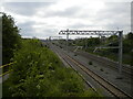
Midland Main Line north of Wellingborough
Looking towards Wellingborough station (about a mile and a half up the line) and London from the bridleway approaching Bush Bridge. This part of the Midland Main Line has only been electrified in the last few years, hence the nice and shiny overhead line equipment. The work also involved reinstatement of the fourth track here. The yellow railings are alongside a Network Rail access path, which leads to a set of sidings just visible in the distance.
Image: © Richard Vince
Taken: 7 May 2022
0.15 miles