
IMAGES TAKEN NEAR TO
Alder Drive, NN7 4UE
Introduction
This page details the photographs taken nearby to Alder Drive, NN7 4UE by members of the Geograph project.
The Geograph project started in 2005 with the aim of publishing, organising and preserving representative images for every square kilometre of Great Britain, Ireland and the Isle of Man.

There are currently over 7.5m images from over14,400 individuals and you can help contribute to the project by visiting https://www.geograph.org.uk
Image Map
Images are licensed for reuse under creativecommons.org/licenses/by-sa/2.0
Notes
- Clicking on the map will re-center to the selected point.
- The higher the marker number, the further away the image location is from the centre of the postcode.
Image Listing (7 Images Found)
Images are licensed for reuse under creativecommons.org/licenses/by-sa/2.0
Image
Details
Distance
1
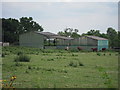
Barns off Sandy Lane
Looking from Larkhall Road.
Image: © Oast House Archive
Taken: 1 Jul 2011
0.11 miles
2
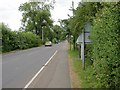
Sandy Lane
Taken from near a roundabout on the A4500 (Weedon Road).
Image: © Kokai
Taken: 28 Jun 2006
0.12 miles
3
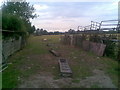
Footpath to Harpole
The footpath shares a gateway which has been turned into a sort of rusty grand entrance into a field of sheep and drinking troughs.
Image: © Burgess Von Thunen
Taken: 20 Jul 2010
0.14 miles
4
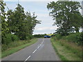
Larkhall Lane
Approaching Sandy Lane junction.
Image: © Oast House Archive
Taken: 1 Jul 2011
0.17 miles
5
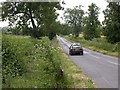
Larkhall Lane
Leading to Harpole. Seen from Sandy Lane.
Image: © Kokai
Taken: 28 Jun 2006
0.18 miles
6
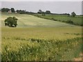
Crops
View from a bridleway. The different textures and colours are created by barley in the foreground, wheat behind and young sweet corn to the right.
Image: © Kokai
Taken: 28 Jun 2006
0.19 miles
7
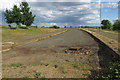
Empty road, just waiting for some housing to arrive
Image: © Philip Jeffrey
Taken: 13 Jun 2020
0.25 miles