
IMAGES TAKEN NEAR TO
High Street, NORTHAMPTON, NN6 8EH
Introduction
This page details the photographs taken nearby to High Street, NN6 8EH by members of the Geograph project.
The Geograph project started in 2005 with the aim of publishing, organising and preserving representative images for every square kilometre of Great Britain, Ireland and the Isle of Man.

There are currently over 7.5m images from over14,400 individuals and you can help contribute to the project by visiting https://www.geograph.org.uk
Image Map
Images are licensed for reuse under creativecommons.org/licenses/by-sa/2.0
Notes
- Clicking on the map will re-center to the selected point.
- The higher the marker number, the further away the image location is from the centre of the postcode.
Image Listing (19 Images Found)
Images are licensed for reuse under creativecommons.org/licenses/by-sa/2.0
Image
Details
Distance
1
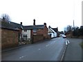
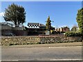
The village High Street, Ravensthorpe
A somewhat tucked-away village. It seems to be one of those settlements where farms lie directly adjacent to the main street - the buildings in the left foreground being an example. Notice the mixture of building materials - ironstone for the wall and outbuilding along the road, brick for the farmhouse itself. The view is WSW, in the failing light of a January afternoon.
Image: © Stefan Czapski
Taken: 23 Jan 2011
0.02 miles
7
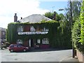
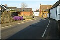
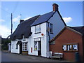
Ravensthorpe-The Chequers
On Chequers Lane in the village.
Image: © Ian Rob
Taken: 19 Aug 2011
0.11 miles
9
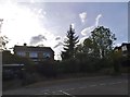
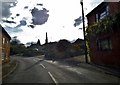
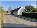
East Haddon Road, Ravensthorpe
At the end of High Street
Image: © David Howard
Taken: 21 May 2017
0.15 miles
10
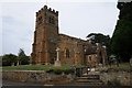
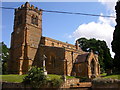
Ravensthorpe church
Ravensthorpe church is dedicated to St Denys, however the historic England listing also states it is also known as Church of St. Dionysius. The church is II* listed, see: https://historicengland.org.uk/listing/the-list/list-entry/1227982 The church is situated on the boundary between two grid squares.
Image: © Philip Halling
Taken: 17 Jul 2019
0.16 miles