
IMAGES TAKEN NEAR TO
Dryden Road, NORTHAMPTON, NN5 7BH
Introduction
This page details the photographs taken nearby to Dryden Road, NN5 7BH by members of the Geograph project.
The Geograph project started in 2005 with the aim of publishing, organising and preserving representative images for every square kilometre of Great Britain, Ireland and the Isle of Man.

There are currently over 7.5m images from over14,400 individuals and you can help contribute to the project by visiting https://www.geograph.org.uk
Image Map
Images are licensed for reuse under creativecommons.org/licenses/by-sa/2.0
Notes
- Clicking on the map will re-center to the selected point.
- The higher the marker number, the further away the image location is from the centre of the postcode.
Image Listing (15 Images Found)
Images are licensed for reuse under creativecommons.org/licenses/by-sa/2.0
Image
Details
Distance
1
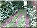
Pathway between Sulgrave Road and Dryden Road
Image: © Alex McGregor
Taken: 15 Jun 2011
0.06 miles
2
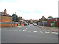
Tintern Avenue, Northampton
Tintern Avenue is a residential road in Northampton's suburbs.
Image: © Malc McDonald
Taken: 28 Jul 2018
0.08 miles
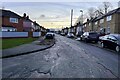
4
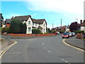
Baring Road, Northampton
Baring Road is a residential road in the suburbs of Northampton.
National Cycle Network route 6 follows this road as it passes through Northampton using quiet streets.
Image: © Malc McDonald
Taken: 28 Jul 2018
0.10 miles
6
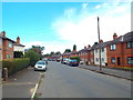
Dallington Road, Northampton
Dallington Road is a residential road in Northampton's suburbs.
National Cycle Network route 6 passes along this road as it makes its way through Northampton using quiet roads.
Image: © Malc McDonald
Taken: 28 Jul 2018
0.11 miles
7
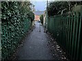
Footpath out of the park onto Dallington Road
Image: © Philip Jeffrey
Taken: 9 Jan 2022
0.16 miles
8
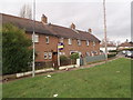
Swansea Road
If you look carefully you can see a human in one of the front gardens.
Image: © Burgess Von Thunen
Taken: 5 Feb 2016
0.20 miles
9
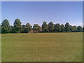
Dallington Park
A 23-acre park gifted to the corporation in 1921 by the Lewis family.
Image: © Burgess Von Thunen
Taken: 17 Jun 2010
0.20 miles
10
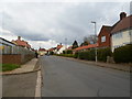
Countess Road
1930s council houses in St James.
Image: © Burgess Von Thunen
Taken: 26 Mar 2014
0.21 miles