
IMAGES TAKEN NEAR TO
Thorne Close, NORTHAMPTON, NN5 6WH
Introduction
This page details the photographs taken nearby to Thorne Close, NN5 6WH by members of the Geograph project.
The Geograph project started in 2005 with the aim of publishing, organising and preserving representative images for every square kilometre of Great Britain, Ireland and the Isle of Man.

There are currently over 7.5m images from over14,400 individuals and you can help contribute to the project by visiting https://www.geograph.org.uk
Image Map
Images are licensed for reuse under creativecommons.org/licenses/by-sa/2.0
Notes
- Clicking on the map will re-center to the selected point.
- The higher the marker number, the further away the image location is from the centre of the postcode.
Image Listing (10 Images Found)
Images are licensed for reuse under creativecommons.org/licenses/by-sa/2.0
Image
Details
Distance
1
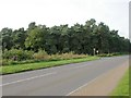
Round Oak Plantation
Seen from across the A428. Now planted with fir trees.
Image: © Kokai
Taken: 12 Oct 2006
0.17 miles
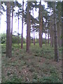
3
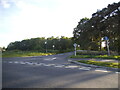
Harlestone Road at the junction of Whites Lane
Within a year the whole field opposite became housing.
Image: © David Howard
Taken: 21 May 2017
0.18 miles
4
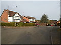
Knighton Close
1980s houses in Duston.
Image: © Burgess Von Thunen
Taken: 2 Feb 2015
0.20 miles
5
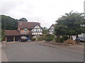
Knighton Close
1980s houses in Duston.
Image: © Burgess Von Thunen
Taken: 21 Aug 2015
0.22 miles
6
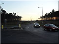
Sandy Lane
The new road, cutting through Round Oak Plantation at dusk.
Image: © Burgess Von Thunen
Taken: 23 Feb 2012
0.23 miles
7
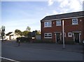
The Hart car park, New Duston
The pub signs were changed between 2016 and 2017
Image: © David Howard
Taken: 21 May 2017
0.23 miles
8
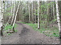
Harlestone Firs
Don't be deceived. This promising looking trail just leads to the edge of Lodge Farm industrial estate.
Image: © Burgess Von Thunen
Taken: 7 May 2012
0.24 miles
9
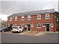
Harlestone Road
2010s houses in Duston.
Image: © Burgess Von Thunen
Taken: 16 Nov 2015
0.24 miles
10
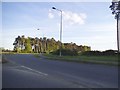
Row of conifers by New Sandy Lane, Harlestone
From Northampton Road, which becomes Harlestone Road over the roundabout ahead.
Image: © David Howard
Taken: 21 May 2017
0.24 miles