IMAGES TAKEN NEAR TO
Tyne Road, NORTHAMPTON, NN5 5AF
Introduction
This page details the photographs taken nearby to Tyne Road, NN5 5AF by members of the Geograph project.
The Geograph project started in 2005 with the aim of publishing, organising and preserving representative images for every square kilometre of Great Britain, Ireland and the Isle of Man.

There are currently over 7.5m images from over14,400 individuals and you can help contribute to the project by visiting https://www.geograph.org.uk
Image Map (Loading...)


Getting Data...Please wait
Leaflet Map data © OpenStreetMap
Images are licensed for reuse under creativecommons.org/licenses/by-sa/2.0
Notes
- Clicking on the map will re-center to the selected point.
- The higher the marker number, the further away the image location is from the centre of the postcode.
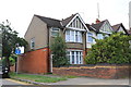
Image Listing (31 Images Found)
Images are licensed for reuse under creativecommons.org/licenses/by-sa/2.0
Image
Details
Distance
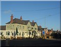
1
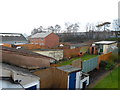
Peverels Way
Gardens being sold off for development plots in St James.
Image: © Burgess Von Thunen
Taken: 28 Mar 2014
0.05 miles
2
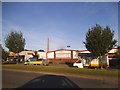
Weedon Road Industrial Estate
Matalan clothing and homewares.
Image: © Burgess Von Thunen
Taken: 1 Aug 2011
0.06 miles
3
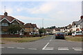
Peverels Road
1930s terraces with the lift tower in the background.
Image: © Burgess Von Thunen
Taken: 28 Mar 2014
0.07 miles
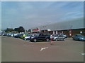
6
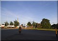
Retail park on Weedon Road, Northampton
Image: © David Howard
Taken: 21 May 2017
0.09 miles
7

Bearded Dragons
Seen in a reptile pet shop on Weedon Road.
Image: © Oast House Archive
Taken: 6 Oct 2012
0.12 miles
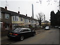
9
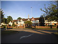
End of the terrace
At the junction of Abbots Way and Weedon Road.
Image: © Andrew Abbott
Taken: 4 Jul 2020
0.15 miles